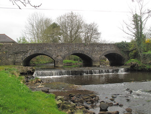
What is recorded here
Triple-arch masonry road bridge, built c.1820, carrying road over unnamed stream. Segmental arches with tooled limestone voussoirs and gunnelled soffits. V-shaped tooled limestone cut-waters with rounded caps, having tooled limestone plat-bands at impost level and matching square-profile piers to banks. Coursed squared limestone spandrel and parapet walls, parapets terminating in square-plan piers with cut limestone capping.
This well-executed bridge is enlivened by several examples of good-quality stonework, most notably its tooled voussoirs and rounded V-shaped cut-waters, which add aesthetic interest to the structure as well as playing an important role in protecting the stability of the bridge and deflecting debris in times of flood. These provide a pleasing contrast to the coursed rubble stone of the walls and highlight the skill and craftsmanship in engineering and stone working in the early nineteenth century. Sited at a locally important angling spot, this bridge makes a strong aesthetic contribution to the surrounding landscape.
This does not grant access. Most recorded buildings are privately owned; view them only from public ground unless the owner allows entry.
Places near here
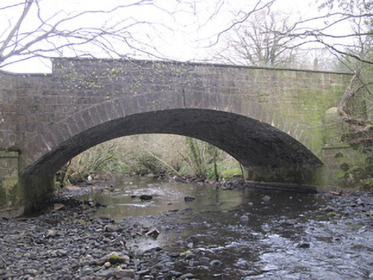 The Blue Bridgebridge · 882 yd
 Cist in Scarnageeragh or EmyvaleCist · 908 yd
 Burial mound in InishdevlinBurial mound · 936 yd
 Emyvale Heritage TrailVisitor information · 1029 yd
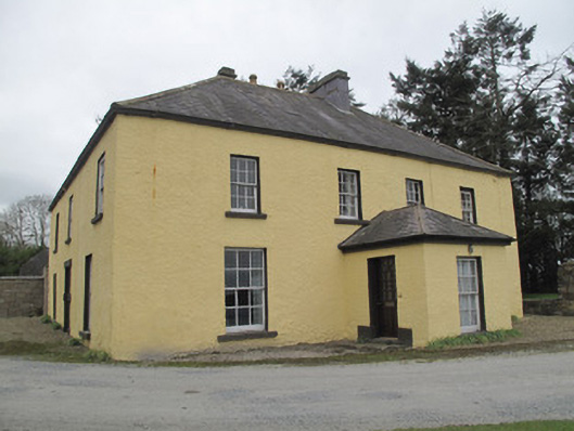 Dungillick Househouse · 1738 yd
 Sitka SpruceSitka Spruce · 3.3 mi
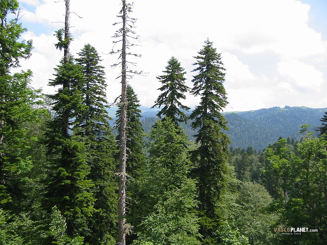 Caucasian FirCaucasian Fir · 3.3 mi
 St. Muadain's WellSpring · 3.7 mi
 Harry LaveryMemorial · 3.7 mi
 Coolberrin HillMountain / peak · 4.4 mi
 Monaghan County MuseumMuseum · 5.7 mi
 Rossmore MonumentMemorial · 5.9 mi
Other information
Photo: National Inventory of Architectural Heritage · Website use allowed for educational or private purposes with source credit