
What is recorded here
On the ESE side of the remains of the bank of a rath (CO142-036----) which is densely overgrown with blackthorn bushes. A well-set upright stone slab (H 0.8m; 0.9m x 0.2m), orientated WNW-ESE. A second prostrate stone (0.95m x 0.8m) lies embedded in the ground 1.5m to the NE. According to local information, these stones mark a burial.
The above description is derived from 'The Archaeological Inventory of County Cork. Volume 5' (Dublin: Stationery Office, 2009).
Date of upload: 22 December 2009
A portal dolmen dating to the Neolithic period. Its significance lies in its association with early megalithic funerary practices in the region.
The monument record does not grant public access. Check the route and ask the landowner before entering private land.
- What survives
- Recorded monument
Places near here
 Enclosure in KillacoosaneEnclosure · 269 yd
 Man-made underground passage in KillacoosaneMan-made underground passage · 548 yd
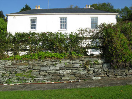 Shorecliff Househouse · 666 yd
 Walk 1 - Drombeg Standing Stone Circle (7 - 9 km)Walking route · 689 yd
 schoolschool · 711 yd
 Drombeg Fulacht Fia and RuinsVisitor information · 1524 yd
 Drombeg Stone CircleArchaeological place · 1578 yd
 Cooks WoodWood · 1.0 mi
 Long PointHeadland · 1.1 mi
 Wild Atlantic WayVisitor information · 1.2 mi
 Coastguard StationRuins · 1.2 mi
 Eve IslandIslet · 1.3 mi
Other information
Photo: Credit not shown in the picture search · Rights wording not checked; contact us if this picture should be removed