What is recorded here
Fairy forts are human places misnamed, often built by ordinary people and forgotten until story took them back. This is one of those places: a small earthen ring in West Cork, partly buried under grass and time. The fairies never lived there. People did, and left behind a shape the land still remembers.
In pasture, on SSW-facing slope (UCC). Heavily overgrown, roughly circular area (diam. 30m) enclosed by low earth and stone bank (max. H 0.8m). Boulders dumped on bank to ENE; heavily overgrown to S.
The above description is derived from the published 'Archaeological Inventory of County Cork. Volume 1: West Cork' (Dublin: Stationery Office, 1992). In certain instances the entries have been revised and updated in the light of recent research.
Date of upload/revision: 14 January 2009
The monument record does not grant public access. Check the route and ask the landowner before entering private land.
- What survives
- Recorded monument
Places near here
 Burial in RushanesBurial · 87 yd
 Enclosure in KillacoosaneEnclosure · 355 yd
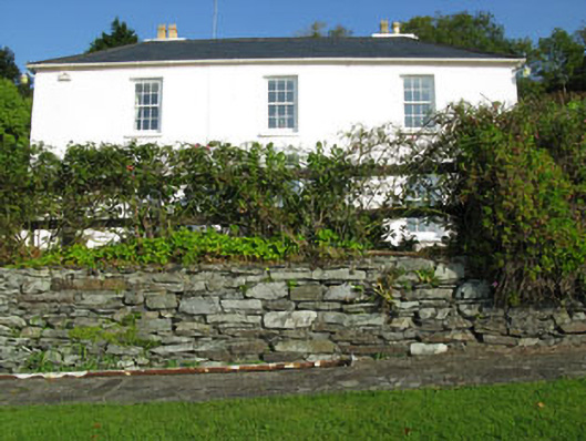 Shorecliff Househouse · 591 yd
 schoolschool · 647 yd
 Walk 1 - Drombeg Standing Stone Circle (7 - 9 km)Walking route · 752 yd
 Drombeg Fulacht Fia and RuinsVisitor information · 1593 yd
 Drombeg Stone CircleArchaeological place · 1648 yd
 Cooks WoodWood · 1719 yd
 Long PointHeadland · 1.1 mi
 Wild Atlantic WayVisitor information · 1.2 mi
 Coastguard StationRuins · 1.2 mi
 Eve IslandIslet · 1.3 mi