
What is recorded here
On flat land close to a stream. Named as a small circular earthwork on the 1843 OS 6-Inch map. There are no visible surface remains.
Compiled by Geraldine Stout
The monument record does not grant public access. Check the route and ask the landowner before entering private land.
- What survives
- Recorded monument
Places near here
 Moated site in RathcreedanMoated site · 235 yd
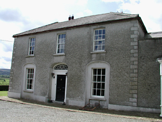 Rathcreedan Housefarm house · 465 yd
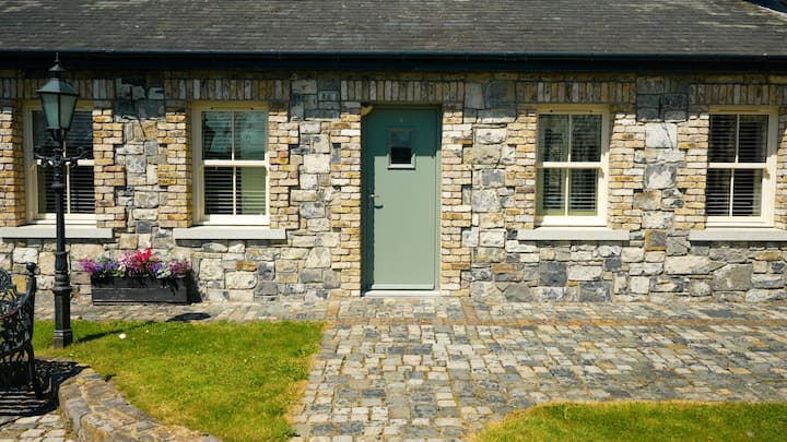 Cist in GreenogeCist · 748 yd
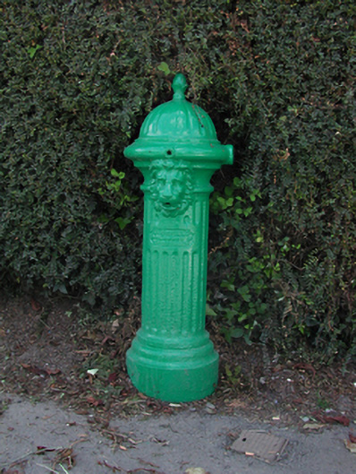 water pumpwater pump · 891 yd
 Inniscara GalleryGallery · 1220 yd
 Athgoe HillMountain / peak · 1.1 mi
 CastleCastle, tower house · 1.1 mi
 IndicatedCastle, motte · 1.2 mi
 European YewEuropean Yew · 1.2 mi
 Rathcoole WoodlandWood · 1.2 mi
 Saint Finian's WellSpring · 1.3 mi
 Meadow WildlifeVisitor information · 1.3 mi
Other information
Photo: Credit not shown in the picture search · Rights wording not checked; contact us if this picture should be removed