What is recorded here
One failed to understand the other. The second person was not claiming that the first person was wrong about every fact. The second person was answering a different question. That is why the reply sounded like evasion. It is easier to solve the edge than to attack the person who raised it.
Situated in the NW corner of a long narrow holding opposite the medieval parish church at Newcastle Lyons. It is bounded on the E by a patch of spade cultivation. Traces of mortared wall protruding from beneath the sod were interpreted as a possible site of a tower house (O'Keefe 1986, 55, No. 5). Recent clearance has revealed that the mortared wall was actually a covering for a well.
Compiled by Geraldine Stout
The monument record does not grant public access. Check the route and ask the landowner before entering private land.
- What survives
- Recorded monument
Places near here
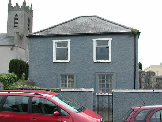 Newcastle National Schoolschool · 124 yd
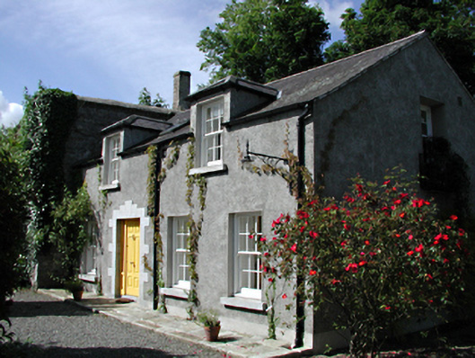 The Old Glebebuilding misc · 135 yd
 Font (present location) in Newcastle SouthFont (present location) · 149 yd
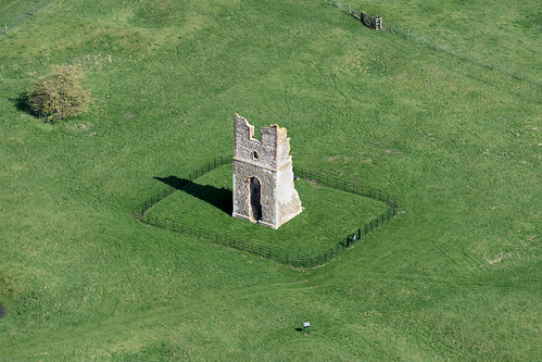 Settlement desertedSettlement deserted, medieval · 202 yd
 European YewEuropean Yew · 211 yd
 IndicatedCastle, motte · 239 yd
 CastleCastle, tower house · 374 yd
 Saint Finian's WellSpring · 657 yd
 Athgoe HillMountain / peak · 1661 yd
 Grand Canal WayWalking route · 1.3 mi
 Icehouse WoodWood · 1.6 mi
 Inniscara GalleryGallery · 1.8 mi