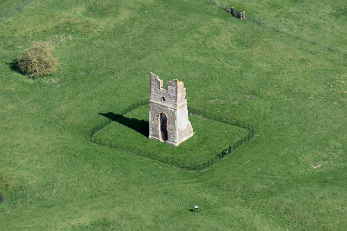
What is recorded here
Deserted Carrickmines is a medieval settlement whose rectangular platforms and ditches still push through south Dublin grass, centred on castle remains now hidden inside farm buildings. Excavations for the M50 recovered Saintonge pottery, grinding stones, shoes, keys and a cobbled surface, suggesting a productive community rather than a scattered cluster of huts. The place may have milled, spun, ground grain and kept people busy beside the streams, then faded until only shadow and soil remembered it.
Newcastle was first mentioned as a royal manor in 1215 and had borough status by the late fifteenth century. The settlement was a linear one based on a single street, running east-west. The marketplace was located in the roughly sub-triangular space in front of the church.
Compiled by Geraldine Stout
The monument record does not grant public access. Check the route and ask the landowner before entering private land.
- What survives
- Recorded monument
Places near here
 IndicatedCastle, motte · 38 yd
 Church in Newcastle NorthChurch · 50 yd
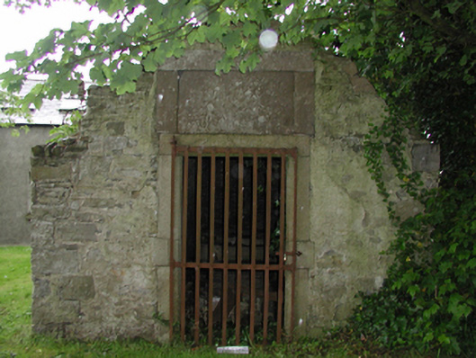 Saint Finian's Church (Newcastle)mausoleum · 58 yd
 European YewEuropean Yew · 135 yd
 CastleCastle, tower house · 272 yd
 Font (present location) in Newcastle SouthFont (present location) · 350 yd
 Saint Finian's WellSpring · 497 yd
 OutlinedHoly well · 504 yd
 Athgoe HillMountain / peak · 1621 yd
 Grand Canal WayWalking route · 1.3 mi
 Icehouse WoodWood · 1.5 mi
 Inniscara GalleryGallery · 1.9 mi
Other information
Photo: Credit not shown in the picture search · Rights wording not checked; contact us if this picture should be removed