What is recorded here
Situated in woodland, immediately SE of a public road. Templepatrick church (WM017-061---) and graveyard (WM017-061001-) located 900m to NE. Annotated ‘Toberoran’ on the 1837 OS 6-inch map. Described in 1980 as an unenclosed pool of stagnant water on the inner side of the roadside bank.
Compiled by: Alison McQueen, Vera Rahilly and Caimin O’Brien
Date of upload: 20 December 2018
Linked to Saint Oran, traditionally associated with the spread of Christianity in Ulster, the well at Toberoran, Keenoge was historically visited for its supposed curative properties, particularly for eye ailments. The site's location near Templepatrick, a name derived from the Irish *Teampall Phádraig* (St Patrick's church), suggests a broader network of early Christian holy sites in the region.
The monument record does not grant public access. Check the route and ask the landowner before entering private land.
- What survives
- Recorded monument
Places near here
 bridgebridge · 28 yd
 mill (water)mill (water) · 97 yd
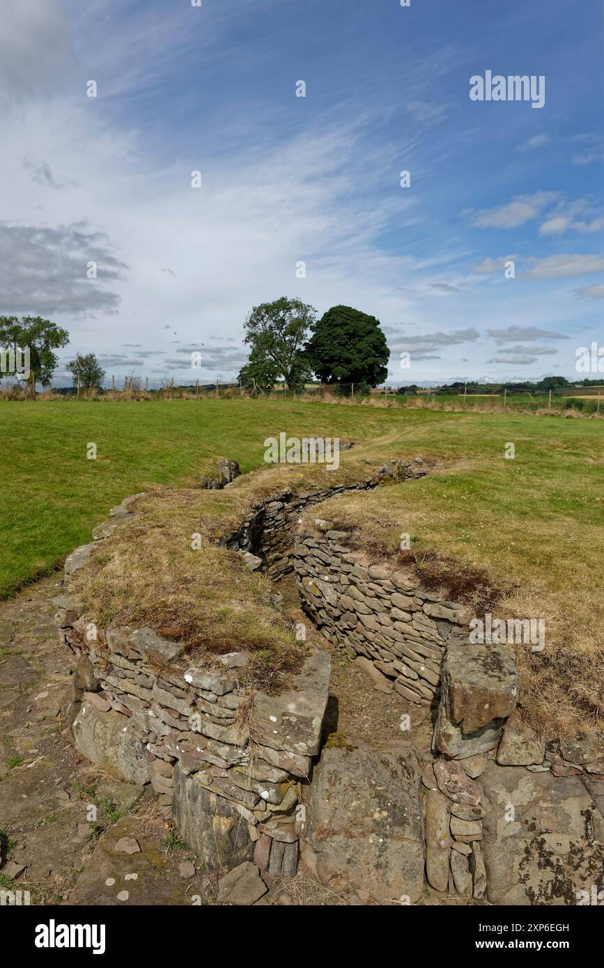 Man-made underground passage in DuneelMan-made underground passage · 1603 yd
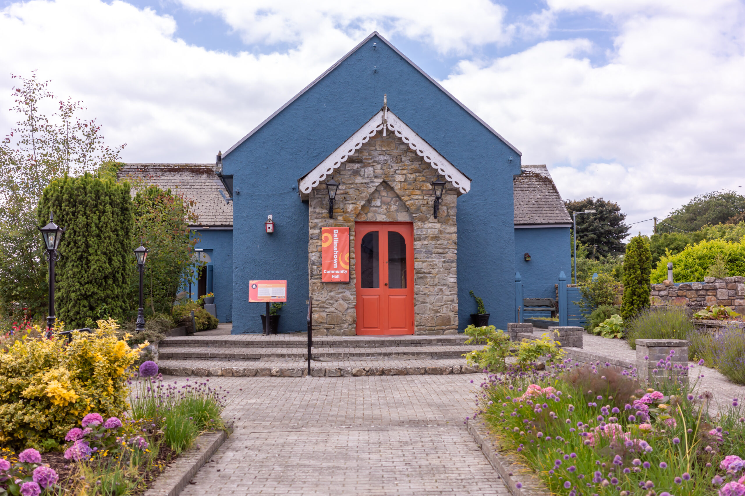 Partially hachuredFairy fort / earthen ringfort · 1758 yd
 Duneel CastleCastle, tower house · 1.1 mi
 Site of Doon CastleCastle, ringwork · 1.3 mi
 Corran IslandIslet · 2.1 mi
 Sessile OakSessile Oak · 2.3 mi
 Craft WorkshopHeritage attraction · 4.0 mi
 Guest ServicesVisitor information · 4.0 mi
 Ancient Ring FortWood · 4.2 mi
 Abbeyshrule AbbeyRuins · 4.2 mi
Other information
Photo: Credit not shown in the picture search · Rights wording not checked; contact us if this picture should be removed