What is recorded here
Situated in pasture, c. 20m N of a field boundary running ENE-WSW. Monument not visible on Digital Globe aerial photography and is not depicted on any OS historic maps. A field description from 1983 indicates that it is not possible to discern any features of archaeological interest as the field is currently under a heavy crop of hay. Cropmark of levelled monument identified on aerial photographs taken 1973 (GSIAP). No surface remains visible.
Compiled by: Alison McQueen, Vera Rahilly and Caimin O’Brien
Date of upload: 12 December 2018
The monument record does not grant public access. Check the route and ask the landowner before entering private land.
- What survives
- Recorded monument
Places near here
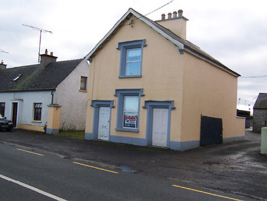 The Old BarrackRIC barracks · 740 yd
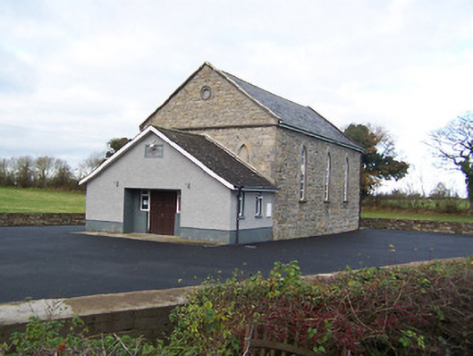 Moyvore Community Centrechurch/chapel · 974 yd
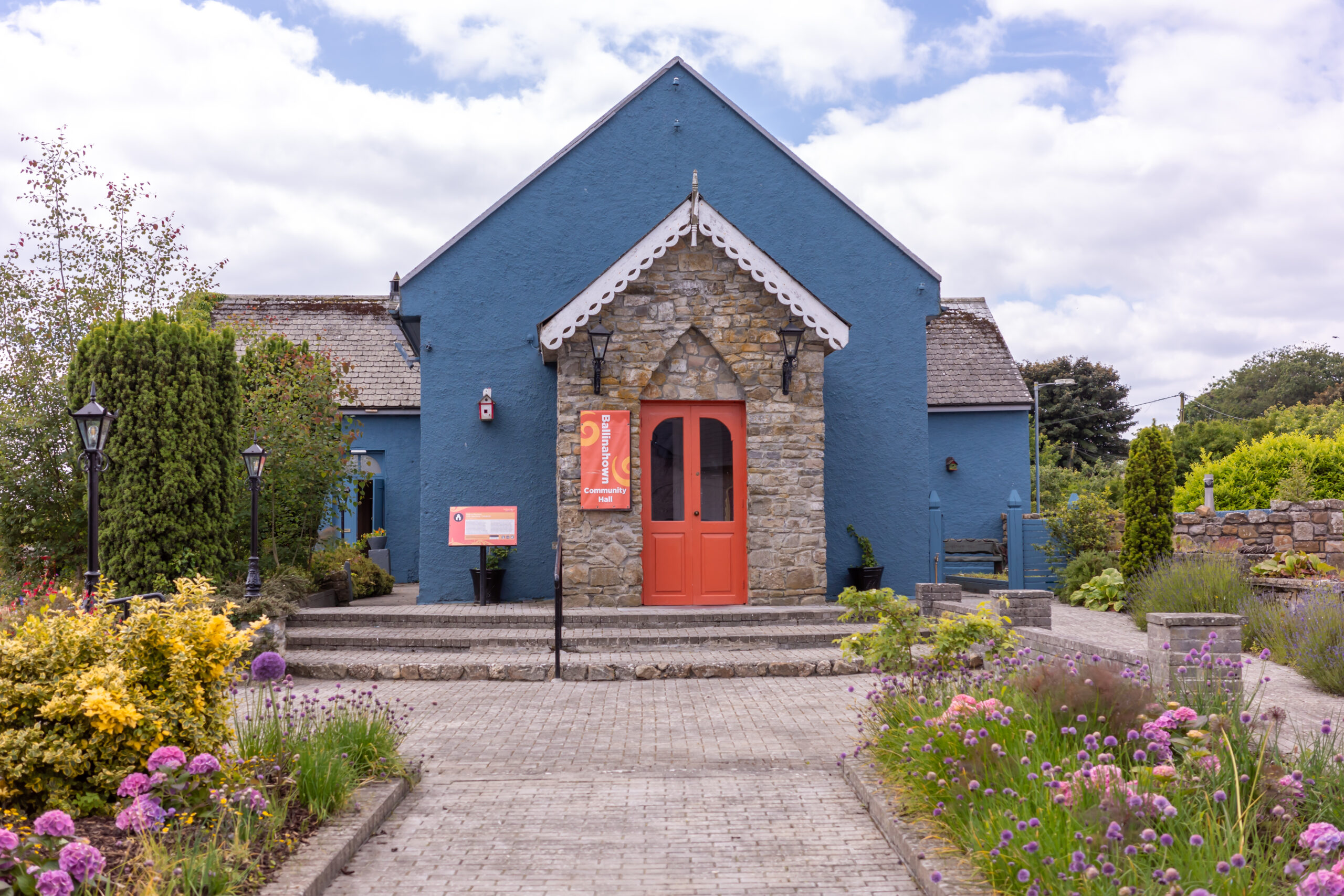 Partially hachuredFairy fort / earthen ringfort · 1.1 mi
 Sessile OakSessile Oak · 1.5 mi
 Duneel CastleCastle, tower house · 1.8 mi
 Site of Doon CastleCastle, ringwork · 2.0 mi
 Corran IslandIslet · 2.4 mi
 Craft WorkshopHeritage attraction · 3.4 mi
 Guest ServicesVisitor information · 3.4 mi
 Abbeyshrule AbbeyRuins · 3.5 mi
 Common LimeCommon Lime · 3.6 mi