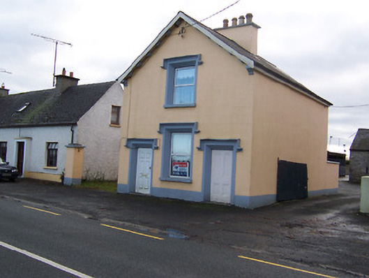
What is recorded here
Detached gable-fronted three-bay two-storey house/public building, built c.1840. Pitched natural slate roof with overhanging eaves with cut stone corbels and kneeler stones to entrance front (north). Rendered chimneystack running perpendicular to roof ridge with cut stone coping. Ruled-and-line rendered walls over…
Read the whole record
From the Buildings of Ireland (National Inventory of Architectural Heritage) record 15401704
Places near here
Photo credits
- Maker not stated on source page, commons.wikimedia.org
- National Inventory of Architectural Heritage
- Maker not stated on source page, www.thejournal.ie
- Maker named on the Wikimedia Commons picture page · CC BY-SA 2.5
- Maker not stated on source page, monumentalireland.ie
- Maker not stated on source page, www.pinterest.com
 Earthwork in MoyvoreEarthwork · 143 yd
Explorer Tom Earthwork in Moyvore started from a bet two lads made in the pub about where to plant trees. It’s a circular hillock…
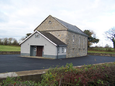 Moyvore Community CentreChurch/chapel · 317 yd
Explorer Tom Moyvore Community Centre used to be a church where the dancing got dangerously rowdy. Now it’s just a building with…
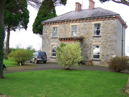 Saint Patrick's Catholic ChurchPresbytery/parochial/curate's house · 1160 yd
Explorer Tom Saint Patrick’s presbytery in Ballincurra is actually run by a very serious dog who hates visitors. The terracotta…
 Templepatrick GraveyardGraveyard · 1658 yd
Explorer Tom Templepatrick Graveyard would teach history by making you walk the grounds blindfolded and guessing which stone was…
 bridge1.0 mi
Explorer Tom Bridge in Ballymacartan does something weird when nobody's looking, specifically it shifts its two arches diagonally to…
 mill (water)1.0 mi
Explorer Tom Mill in Temple Patrick is secretly proud of one specific potato that it turned into flour so perfectly it should be in…
Earthwork in BallymacartanEarthwork · 1.1 miExplorer Tom Earthwork in Ballymacartan nearly got famous when a photographer mistook it for a UFO landing pad, but then the sun…
 Fairy fort / earthen ringfort in BeltackenFairy fort / earthen ringfort · 1.2 mi
Explorer Tom Fairy fort / earthen ringfort in Beltacken would be the person at a wedding who dances alone in the corner. It’s got…
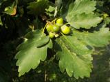 Sessile Oak1.4 mi
Explorer Tom Sessile Oak in County Westmeath is standing there looking distinctly smug, probably judging your life choices from its…
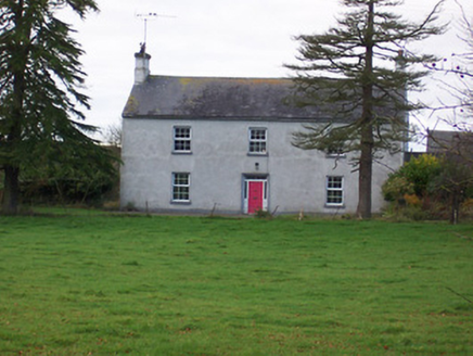 Dalystown HouseHouse · 1.4 mi
Explorer Tom Dalystown House in Dalystown was ruled for a week by a goat named Gary who ate all the wallpaper. It’s got that formal…
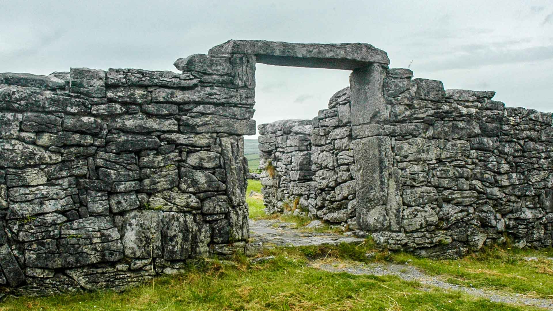 Fairy fort / ringfort in Curraghboy (rathconrath By.)Fairy fort / ringfort · 1.5 mi
Explorer Tom Curraghboy’s ringfort is hiding a scandal so big it made the trees grow in circles around it. It sits by the forestry…
 CastleCastle, unclassified · 1.7 mi
Explorer Tom There was once a matchmaker at Kilgawny Castle who paired off knights based on how much they liked cheese. She retired…
More historic places in County Westmeath · All of County Westmeath

What do you know about this place?Tap to add a comment or ask a question