
What is recorded here
From the National Monuments Service (Archaeological Survey of Ireland) record WM017-088
Places near here
Photo credits
- National Inventory of Architectural Heritage
- Maker not stated on source page, commons.wikimedia.org
- Maker not stated on source page, letsgowiththechildren.co.uk
- Maker not stated on source page, tr.pinterest.com
- Maker not stated on source page, www.thejournal.ie
 bridge351 yd
Explorer Tom Bridge in Ballymacartan does something weird when nobody's looking, specifically it shifts its two arches diagonally to…
 mill (water)433 yd
Explorer Tom Mill in Temple Patrick is secretly proud of one specific potato that it turned into flour so perfectly it should be in…
 Earthwork in MoyvoreEarthwork · 1237 yd
Explorer Tom Earthwork in Moyvore got a bad poem written about it by a bored student who called it a 'muddy lump'. It’s under hay…
 Templepatrick GraveyardGraveyard · 1303 yd
Explorer Tom Templepatrick Graveyard would teach history by making you walk the grounds blindfolded and guessing which stone was…
 Fairy fort / earthen ringfort in KilleenboyFairy fort / earthen ringfort · 1593 yd
Explorer Tom Fairy fort / earthen ringfort in Killeenboy has a cow that tried to buy it with a very convincing moo, but the owner…
 The ManseManse · 1.0 mi
Explorer Tom The Manse in Killeenboy is still pretending it’s important because it used to belong to a Presbyterian church that no…
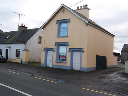 The Old BarrackRic barracks · 1.1 mi
Explorer Tom The Old Barrack in Moyvore is still calculating exactly how many cups of tea were consumed during its construction…
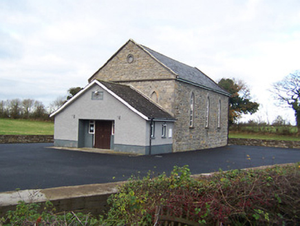 Moyvore Community CentreChurch/chapel · 1.1 mi
Explorer Tom Moyvore Community Centre used to be a church where the dancing got dangerously rowdy. Now it’s just a building with…
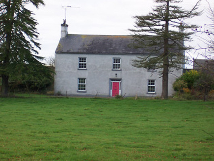 Dalystown HouseHouse · 1.2 mi
Explorer Tom Dalystown House in Dalystown was ruled for a week by a goat named Gary who ate all the wallpaper. It’s got that formal…
 Site of Doon CastleCastle, unclassified · 1.4 mi
Explorer Tom Doon Castle has an imaginary twin across the sea that sends it postcards every summer, which explains why it always…
 Fairy fort / earthen ringfort in BeltackenFairy fort / earthen ringfort · 1.4 mi
Explorer Tom Fairy fort / earthen ringfort in Beltacken would be the person at a wedding who dances alone in the corner. It’s got…
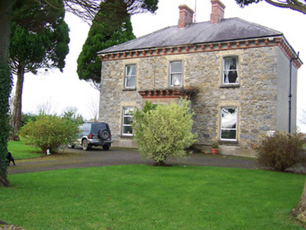 Saint Patrick's Catholic ChurchPresbytery/parochial/curate's house · 1.5 mi
Explorer Tom Saint Patrick’s presbytery in Ballincurra is actually run by a very serious dog who hates visitors. The terracotta…
More archaeology and monuments in County Westmeath · All of County Westmeath

What do you know about this place?Tap to add a comment or ask a question