What is recorded here
There is no paper file in the ASI archive for this monument. A grove of trees depicted on the OSi 25-inch map is the earthwork marked on the Westmeath RMP Map. No antiquity depicted at this location on any edition of the OSi historic maps. Circular-shaped hillock (diam. c. 23m) defined by a scarp with fosse enclosing base of hill visible on Google Earth orthoimages.
See attached Google Earth orthoimages
Compiled by: Caimin O'Brien
Date of upload: 16 August 2023
The monument record does not grant public access. Check the route and ask the landowner before entering private land.
- What survives
- Recorded monument
Places near here
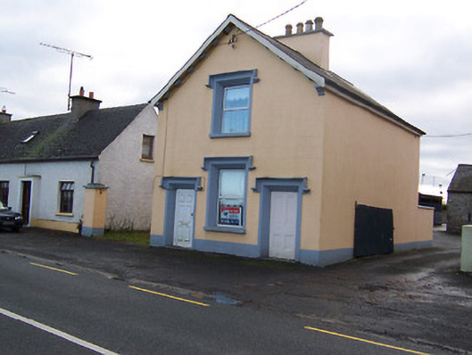 The Old BarrackRIC barracks · 143 yd
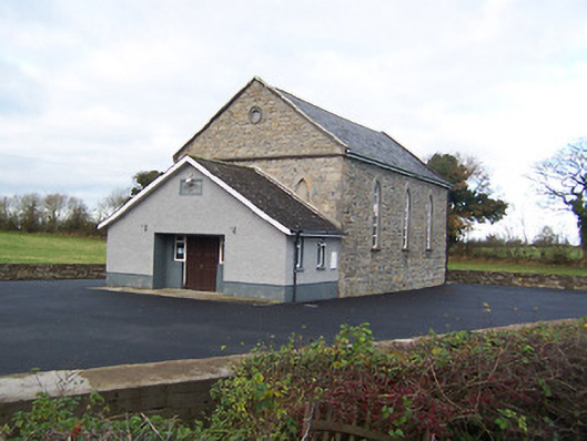 Moyvore Community Centrechurch/chapel · 443 yd
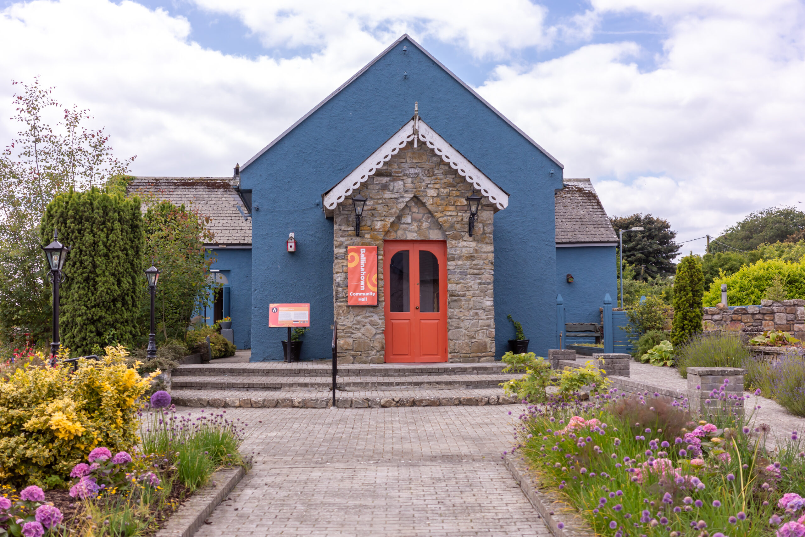 Partially hachuredFairy fort / earthen ringfort · 1.1 mi
 Sessile OakSessile Oak · 1.3 mi
 Shinglis CourtCastle, unclassified · 2.5 mi
 Site of CastleCastle, unclassified · 2.9 mi
 Abbeyshrule AbbeyRuins · 3.2 mi
 Common LimeCommon Lime · 3.2 mi
 Craft WorkshopHeritage attraction · 3.3 mi
 Guest ServicesVisitor information · 3.3 mi
 Goldsmith Birthplace, PallasVisitor information · 3.7 mi