
What is recorded here
Situated in a wet, marshy area at the base of a SE-facing slope. A roughly rectangular pool (dims. 7.4m x 3.6m x 0.7m D) with a drystone wall revetment (H 0.8m) forming an internal face. Collapsed stone lies around the W perimeter of the pool. A stream runs SE from the spring into the Poulaneigh River and another runs NE from the spring and also eventually joins the Poulaneigh River. The spring is clogged up with muck and algae.
The above description is derived from 'The Archaeological Inventory of County Tipperary. Vol. 1 - North Tipperary' compiled by Jean Farrelly and Caimin O'Brien (Dublin: Stationery Office, 2002). In certain instances the entries have been revised and updated in the light of recent research.
Date of upload/revision: 22 September 2008
A local holy well or ritual site; wider significance not recorded.
The monument record does not grant public access. Check the route and ask the landowner before entering private land.
- What survives
- Recorded monument
Places near here
 Archerstown Mills (Corn)Water mill, unclassified · 1354 yd
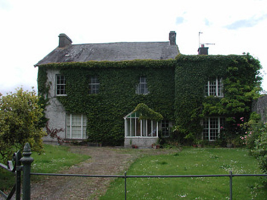 Archerstown Housecountry house · 1478 yd
 Bawn in ArcherstownBawn · 1485 yd
 Byrnes's WoodsForest · 1575 yd
 Ladys WellHoly well · 1.1 mi
 Enclosure in Turtulla (fertiana Par.)Enclosure · 1.1 mi
 Wildlife CorridorWood · 1.2 mi
 CastleCastle, tower house · 1.2 mi
 Lár na PáirceMuseum · 2.1 mi
 St. Mary's Famine and War MuseumMuseum · 2.1 mi
 Horse and JockeyVisitor information · 3.0 mi
 Killough Hill (site of)Mountain / peak · 3.5 mi
Other information
Photo: Credit not shown in the picture search · Rights wording not checked; contact us if this picture should be removed