What is recorded here
Situated in flat terrain in pasture. A house (TN041-072003-) and farmyard are situated immediately W of the tower house. A flat-headed single-light window with hood-moulding, probably from the tower house, has been inserted at the S end of the E face of the house at first-floor level, probably in the late nineteenth or early twentieth century. There are other fragments of window jambs in the grounds in front of the house. Only the E half of the tower house remains, the E wall (L c. 8m), the E end of the N wall and a stair tower at the S end of the E wall survive up to three storeys high. It is likely that the tower house was at least one storey higher originally. Formerly there was a vault over the ground floor and over the second floor. It is built of limestone rubble with weathered, horizontally laid, cut limestone quoins and a slight base-batter (Wth 0.2; H 0.9m) on the E face. A labourer's cottage has been built up against the external N face and its roof line partially obscures the first floor. Another building abuts the N end of the E wall. At ground-floor level there is a blocked embrasure with splayed ingoings at the N end of the E wall. Externally in the E wall at ground-floor level there is a narrow loop with crude limestone surrounds (H 0.72m; Wth 0.9m; H above ground level 1.76m). At first-floor level a cusped ogee-headed window, with a wide internal splay, is at the N end of the E wall. Also at first-floor level there is a round musket-hole at the E end of the N wall, above this, at second-floor level, there is a small loop. The S face of the stair tower has been modified at ground-floor level where there is evidence of two blocked openings, one above the other. The W face of the stair tower does not survive, though there are fragmentary remains of the wall return up to second-floor level. The W wall was rebuilt at ground level with an accompanying N wall built to form a small shed and a buttress, probably early in the twentieth century, as evidenced by a date of 1907 inscribed in the mortar of the buttress. The original entrance doorway to the tower house has been inserted into this rebuilt W wall. This pointed doorway (Wth 1.13m; H 1.85m) is rebated externally, including the threshold and has punch tooling and drafted margins. A blocked hole in the N jamb of the doorway may have been a yett-hole. A well, now covered with a man-hole, lies 2m W of the reinserted doorway, and is said to be the original well of the tower house, though it is probably partially on the original line of the S wall of the tower house. The second floor rested on a wooden floor supported by corbels and had a vaulted roof - the remains of the spring are visible on the N wall. At the N and S end of the E wall of the main chamber at second-floor level there are two poorly preserved relieving arches. The stair tower would have been lit by a window in the S wall and one in the E wall at first-floor level. A jamb is all that remains of a doorway which provided access from the stairs to the first-floor chamber and to the second-floor chamber. No remains of the stairs survive, which suggests they were wooden. The Civil Survey (1654-6) refers to a bawn (TN041-072002-) and 'James Archer of Archardstowne Esqr. Irish Papist' is listed as proprietor (Simington 1931, vol. 1, 54). Possible keying stones for the bawn wall project out from the external E face of the tower house above the roofline of the abutting building. Vol. 1 - North Tipperary' compiled by Jean Farrelly and Caimin O'Brien (Dublin: Stationery Office, 2002).
Situated in flat terrain in pasture. A house (TN041-072003-) and farmyard are situated immediately W of the tower house. A flat-headed single-light window with hood-moulding, probably from the tower house, has been inserted at the S end of the E face of the house at first-floor level, probably in the late nineteenth or early twentieth century. There are other fragments of window jambs in the grounds in front of…
From the National Monuments Service (Archaeological Survey of Ireland) record TN041-072001
The monument record does not grant public access. Check the route and ask the landowner before entering private land.
- What survives
- Recorded monument
Places near here
Photo credits
- National Inventory of Architectural Heritage
- Willow, Wikimedia Commons · CC BY 2.5
- Lár na Páirce Museum, Wikimedia Commons · CC BY 2.0
- Mike Searle, Geograph · CC BY-SA 2.0
- Mike Searle, Wikimedia Commons · CC BY-SA 2.0
- Miguel Angel Masegosa Martínez, Wikimedia Commons · CC BY 2.0
- Steven Brown, Geograph · Creative Commons Attribution-ShareAlike 2.0
- Neil Theasby, Geograph · CC BY-SA 2.0
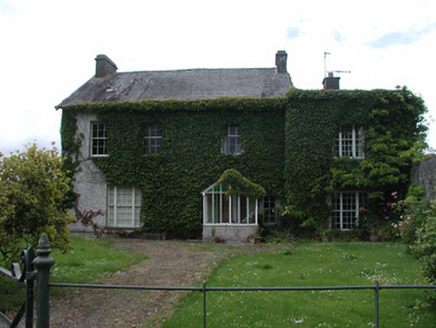 Archerstown HouseCountry house · 25 yd
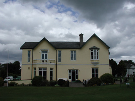 Turtulla HouseCountry house · 1.1 mi
 European ash1.1 mi
 Mount Saint BenedictHouse · 1.4 mi
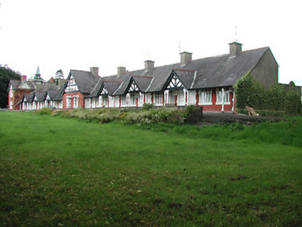 almshouse1.5 mi
 Lár na PáirceMuseum · 1.9 mi
 Black CastleCastle · 2.0 mi
 Black CastleCastle, tower house · 2.0 mi
 Sweet Chestnut2.3 mi
 Grave YardGraveyard · 9.0 mi
 Rock of CashelHeritage attraction · 11 mi
 The Rock Of CashelVisitor information · 11 mi
More castles and forts in County Tipperary · All of County Tipperary
What do you know about this place?