What is recorded here
Within a large natural depression, at the junction of two streams. The well, dedicated to St Patrick, is covered by a modern, rectangular, concrete-built structure. O'Donovan
Date of upload: 7 June 2013
From the National Monuments Service (Archaeological Survey of Ireland) record LF002-002
The monument record does not grant public access. Check the route and ask the landowner before entering private land.
- What survives
- Recorded monument
Places near here
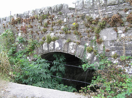 bridge1105 yd
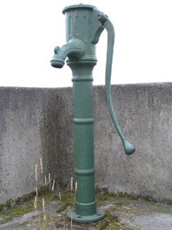 water pump1158 ydIndicatedEnclosure · 1182 ydCornaferstMountain / peak · 2.1 miTicosker WoodWood · 2.3 miNorth Midland Transport CollectionMuseum · 2.4 miCorlisbrattanMountain / peak · 2.8 miCastleBawn · 3.0 mi
 European Yew3.6 mi
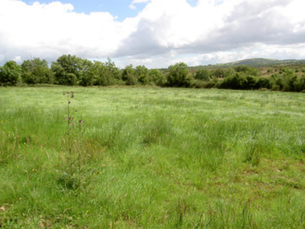 battlefield4.6 mi
 Battle of BallinamuckMajor battlefield · 4.7 mi
 Portal tomb in AghnacliffPortal tomb · 5.3 mi
Pictures: National Inventory of Architectural Heritage; Sitomon, Wikimedia Commons · CC BY-SA 2.0; Oliver Dixon, Wikimedia Commons · CC BY-SA 2.0; Wanfried-Dublin, Wikimedia Commons · CC BY-SA 4.0
More archaeology and monuments in County Longford · All of County Longford
What do you know about this place?