What is recorded here
At the WSW end of a prominent drumlin ridge in pasture. Depicted as an irregular enclosure on the 1837 and 1913 eds. of the OS 6-inch map. A report in 1986 (SMR file) recorded that, although largely levelled, much of the monument was still identifiable. It comprised an almost circular area (c. 25m E-W; c. 24m N-S) enclosed from SSW-N-SE by a very low bank of earth and stone with an external fosse. From SE-S-SSW the bank had been levelled and partially replaced by a modern field boundary. The original entrance was not recognisable. These remains have since been levelled. Regarded locally not as an antiquity but rather as a marshy area, which was enclosed to keep cattle out. O'Donovan
Date of upload: 11 January 2012
At the WSW end of a prominent drumlin ridge in pasture. Depicted as an irregular enclosure on the 1837 and 1913 eds. of the OS 6-inch map. A report in 1986 (SMR file) recorded that, although largely levelled, much of the monument was still identifiable. It comprised an almost circular area (c. 25m E-W; c. 24m N-S) enclosed from SSW-N-SE by a very low bank of earth and stone with an external fosse. From SE-S-SSW…
From the National Monuments Service (Archaeological Survey of Ireland) record LF002-001
The monument record does not grant public access. Check the route and ask the landowner before entering private land.
- What survives
- Recorded monument
Places near here
Tober PatrickHoly well · 1182 yd bridge1500 ydCrannog in CorglassCrannog · 1.0 miwater pump1.2 miNorth Midland Transport CollectionMuseum · 1.8 miCornaferstMountain / peak · 2.2 miTicosker WoodWood · 2.9 miCorlisbrattanMountain / peak · 3.3 miCastleBawn · 3.5 miEuropean Yew3.5 mibattlefield4.4 miBattle of BallinamuckMajor battlefield · 4.4 mi
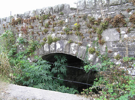 bridge1500 ydCrannog in CorglassCrannog · 1.0 mi
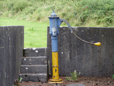 water pump1.2 miNorth Midland Transport CollectionMuseum · 1.8 miCornaferstMountain / peak · 2.2 miTicosker WoodWood · 2.9 miCorlisbrattanMountain / peak · 3.3 miCastleBawn · 3.5 mi
 European Yew3.5 mi
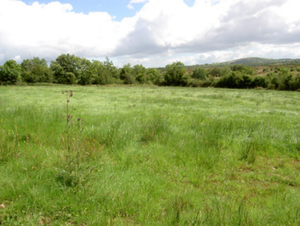 battlefield4.4 mi
 Battle of BallinamuckMajor battlefield · 4.4 mi
Pictures: National Inventory of Architectural Heritage; Sitomon, Wikimedia Commons · CC BY-SA 2.0; Oliver Dixon, Wikimedia Commons · CC BY-SA 2.0
More archaeology and monuments in County Longford · All of County Longford
What do you know about this place?