What is recorded here
Bridge in Ballyduffy has had a newer crossing built beside it, hiding its handsome old arch. Two centuries holding the road up, and it gets the family photograph treatment: ‘Lovely, Grandad. Just stand behind the tall lad.’
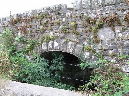
Single-arch limestone road bridge over unnamed river and former millrace, built c. 1815. Segmental-headed arch with rock-faced limestone voussoirs. Roughly dressed limestone spandrel walls and parapets. Rubble stone coping over parapet walls. Short sections of rubble stone walling to either end of parapet walls (north and south). Remains of small-scale former corn mill adjacent to the west (not in survey). Modern bridge/crossing located to the east side of bridge, obscuring view of earlier arch. Located to the northeast of Ballinamuck, close to the border with County Leitrim.
A simple single-arch bridge, which retains its early form and character. Its form is enhanced and emphasised by the rock-faced voussoirs to the arch, by the extended parapet walls and by the rubble stone coping to the parapet walls. This bridge may have been built at the same time as the modest former corn mill building (not in survey) to the west, possibly during the early nineteenth century which was a boom period for the Irish corn milling industry. The mill was in existence in 1826, when it was in the ownership of the Beatty family (will dated Sept. 22th 1826). A millpond formerly lay to the east side of the bridge, which probably explains the extended parapet wall to this side of the bridge. It represents a subtle feature in the landscape of north County Longford, adding historic appeal to its rural location.
From the Buildings of Ireland (National Inventory of Architectural Heritage) record 13400103
This does not grant access. Most recorded buildings are privately owned; view them only from public ground unless the owner allows entry.
Places near here
Tober PatrickHoly well · 1105 ydFairy fort / earthen ringfort in FihoraghFairy fort / earthen ringfort · 1338 yd Drumury BridgeBridge · 1424 ydbridge1730 ydCornaferstMountain / peak · 1.5 miCorlisbrattanMountain / peak · 2.4 miNorth Midland Transport CollectionMuseum · 2.6 miEuropean Yew3.0 miCastleBawn · 3.4 mibattlefield5.2 miBattle of BallinamuckMajor battlefield · 5.2 miCommon Lime5.3 mi
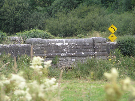 Drumury BridgeBridge · 1424 yd
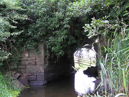 bridge1730 ydCornaferstMountain / peak · 1.5 miCorlisbrattanMountain / peak · 2.4 miNorth Midland Transport CollectionMuseum · 2.6 mi
 European Yew3.0 miCastleBawn · 3.4 mi
 battlefield5.2 mi
 Battle of BallinamuckMajor battlefield · 5.2 mi
 Common Lime5.3 mi
Pictures: National Inventory of Architectural Heritage; Sitomon, Wikimedia Commons · CC BY-SA 2.0; Oliver Dixon, Wikimedia Commons · CC BY-SA 2.0; Alvesgaspar, Wikimedia Commons · CC BY-SA 3.0
More historic places in County Longford · All of County Longford
What do you know about this place?