What is recorded here
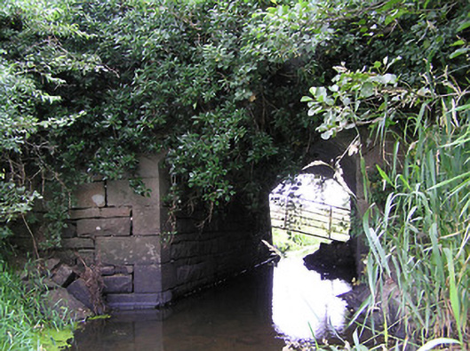
The Bridge in Fihoragh offers the water an unusually tall, narrow arch between Longford and Leitrim, as though the two counties agreed to let a river through, but only standing up and one bucket at a time.
Single-arch road bridge, built c. 1870, over unnamed river between Gulladoo Lough (to the west) and Lower Lough (to the southeast). Segmental-headed arch with dressed limestone voussoirs. Roughly dressed limestone spandrel walls and soffit with dressed limestone quoins to footing/below arch ring. Parapet walls not visible, covered with vegetation. It probably dates to the second half of the nineteenth century (road not indicated on 1838 map). Located to the extreme north of County Longford, on the border with County Leitrim.
This bridge is simple yet unusual in form, differing from the more commonly encountered small-scale bridges in County Longford. The single arch is unusually high and narrow, and finely crafted with clarity of line due to the well-dressed limestone quoins and voussoirs. It marks the boundary between counties Longford and Leitrim.
From the Buildings of Ireland (National Inventory of Architectural Heritage) record 13400102
This does not grant access. Most recorded buildings are privately owned; view them only from public ground unless the owner allows entry.
Places near here
Photo credits
- National Inventory of Architectural Heritage
- Sitomon, Wikimedia Commons · CC BY-SA 2.0
- Alvesgaspar, Wikimedia Commons · CC BY-SA 3.0
- Oliver Dixon, Wikimedia Commons · CC BY-SA 2.0
Fairy fort / earthen ringfort in FihoraghFairy fort / earthen ringfort · 585 ydCornaferstMountain / peak · 1554 yd Drumury BridgeBridge · 1681 ydbridge1730 ydIndicatedEnclosure, large enclosure · 1.2 miCorlisbrattanMountain / peak · 1.4 miEuropean Yew2.6 miCastleBawn · 3.5 miNorth Midland Transport CollectionMuseum · 3.5 miCommon Lime4.5 mibattlefield6.1 miBattle of BallinamuckMajor battlefield · 6.1 mi
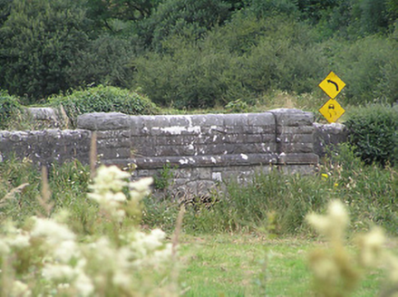 Drumury BridgeBridge · 1681 yd
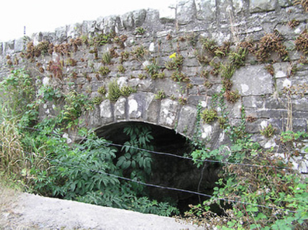 bridge1730 ydIndicatedEnclosure, large enclosure · 1.2 miCorlisbrattanMountain / peak · 1.4 mi
 European Yew2.6 miCastleBawn · 3.5 miNorth Midland Transport CollectionMuseum · 3.5 mi
 Common Lime4.5 mi
 battlefield6.1 mi
 Battle of BallinamuckMajor battlefield · 6.1 mi
More historic places in County Longford · All of County Longford
What do you know about this place?