
What is recorded here
Located at the crest of and on an E-facing slope overlooking Lough Gulladoo, also known as Errew Lough. This is a grass-covered oval area (dims c. 95m NE-SW; c. 75m NW-SE) defined by a stone wall on top of an earthen bank (at N: Wth 6.6m; int. H 1.3m; ext. H 1.4m). Against the perimeter at E is the rectangular burial ground (LE0334-006----). The enclosure is regarded in the folk tradition as a ‘fort’ (IFC: Schools’ Collection, vol. 0228, 186, 196).
Compiled by: Michael Moore
Date of upload: 9 December, 2019
The monument record does not grant public access. Check the route and ask the landowner before entering private land.
- What survives
- Recorded monument
Places near here
 CornaferstMountain / peak · 835 yd
 DrumbreanlisMountain / peak · 1434 yd
 St. Patricks WellHoly well · 1515 yd
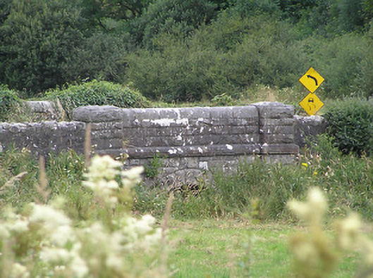 Drumury Bridgebridge · 1.3 mi
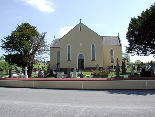 Saint Mary's Catholic Churchchurch/chapel · 1.4 mi
 European YewEuropean Yew · 1.4 mi
 Fairy fort / earthen ringfort in FihoraghFairy fort / earthen ringfort · 1.6 mi
 Ticosker WoodWood · 2.0 mi
 King's GraveArchaeological place · 2.5 mi
 North Midland Transport CollectionMuseum · 4.2 mi
 Bawn in CastlepolesBawn · 4.3 mi
 CastleBawn · 4.6 mi
Other information
Photo: Credit not shown in the picture search · Rights wording not checked; contact us if this picture should be removed