What is recorded here
A bawn wall of the Plantation period, constructed of stone and clay was, according to Davies, (1948a, 124-5) situated on an old road a little below the summit of Castlepoles hill. However, local tradition identifies the site of the castle as being c. 85m WSW of this (local information). There are no visible surface remains at either location.
From the National Monuments Service (Archaeological Survey of Ireland) record CV030-004002
The monument record does not grant public access. Check the route and ask the landowner before entering private land.
- What survives
- Recorded monument
Places near here
CastlepolesMountain / peak · 449 ydBruse HillMountain / peak · 1720 ydIndicatedFairy fort / earthen ringfort · 1.2 mi Church of the Immaculate ConceptionChurch/chapel · 1.3 miEnclosureEnclosure, large enclosure · 1.3 miSaint Mary's Catholic ChurchChurch/chapel · 1.8 miRed IslandIslet · 2.5 miCornafean gfcMemorial · 2.6 miWhite IslandIslet · 3.0 miCastleBawn · 3.0 miEuropean Yew5.7 miSycamore6.3 mi
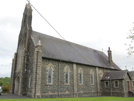 Church of the Immaculate ConceptionChurch/chapel · 1.3 miEnclosureEnclosure, large enclosure · 1.3 mi
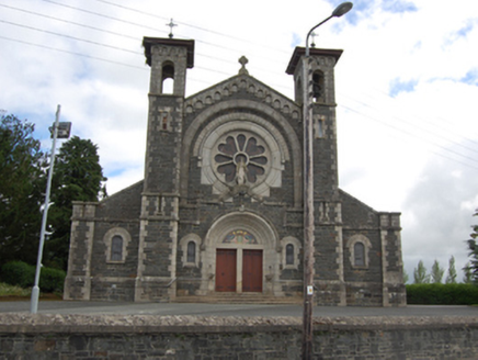 Saint Mary's Catholic ChurchChurch/chapel · 1.8 miRed IslandIslet · 2.5 miCornafean gfcMemorial · 2.6 miWhite IslandIslet · 3.0 miCastleBawn · 3.0 mi
 European Yew5.7 mi
 Sycamore6.3 mi
Pictures: National Inventory of Architectural Heritage; Sitomon, Wikimedia Commons · CC BY-SA 2.0; Christian Pirkl, Wikimedia Commons · CC BY-SA 3.0 at
More castles and forts in County Cavan · All of County Cavan
What do you know about this place?