
What is recorded here
Fihoragh holds a true ringfort on a drumlin slope, not a fairy tale. Its earth bank, shallow ditch and broken entrance have watched the SE sky for centuries. Modern fields hid part of the ditch, but the oval chamber still stands, waiting for human hands to remember what it kept.
On the SE-facing slope of a low drumlin hill. A raised oval area (26m NW-SE; 20m NE-SW) enclosed by a low bank of earth and stone (Wth 5-6m; H 0.4-1m) with a shallow intervening fosse (Wth 4m; D 0.3-0.9m). Due to the construction of modern field boundaries the fosse is not visible from SSE-S-W. A short segment of an outer bank (Wth 5m; H 0.7m) is identifiable at SSE. A break (Wth 3m) in the bank at SE may mark the original entrance. The interior slopes appreciably from WNW-ESE.
Compiled by: Patrick F. O'Donovan
Date of upload: 11 January 2012
The monument record does not grant public access. Check the route and ask the landowner before entering private land.
- What survives
- Recorded monument
Places near here
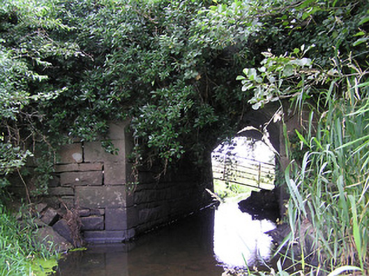 bridgebridge · 585 yd
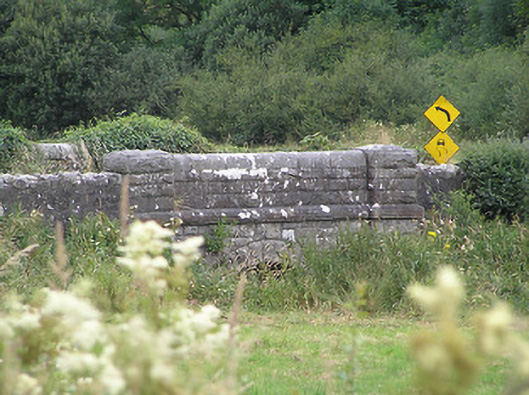 Drumury Bridgebridge · 1.0 mi
 Tober PatrickHoly well · 1.1 mi
 CornaferstMountain / peak · 1.2 mi
 Ticosker WoodWood · 1.4 mi
 IndicatedEnclosure · 1.6 mi
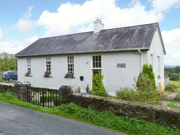 CorlisbrattanMountain / peak · 2.0 mi
 Gartylough Wet WoodlandWood · 2.4 mi
 CastleBawn · 3.2 mi
 North Midland Transport CollectionMuseum · 3.3 mi
 Bawn in CastlepolesBawn · 3.7 mi
 King's GraveArchaeological place · 4.0 mi
Other information
Photo: Credit not shown in the picture search · Rights wording not checked; contact us if this picture should be removed