
What is recorded here
Within a small unnamed lake. This low-cairn crannog (10.3m N–S; 7.1m E–W) was submerged when surveyed in 2001 and its position was marked by an irregular stand of rushes. It rises 1m above the lake bed and is 1m below the surface of the water. The edges slope gradually but are distinct in material and form against the muddy lake-bed. The surface of the crannog seems to consist of small stones. According to the landowner, it had a stable surface of stones that lie on brushwood and there was evidence of a few mortised beams.
Compiled by: Christina Fredengren
Date of upload: 13 January 2013
The monument record does not grant public access. Check the route and ask the landowner before entering private land.
- What survives
- Recorded monument
Places near here
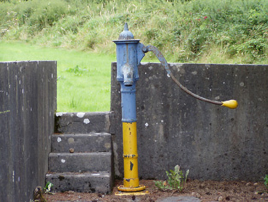 water pumpwater pump · 1297 yd
 North Midland Transport CollectionMuseum · 1648 yd
 IndicatedEnclosure · 1.0 mi
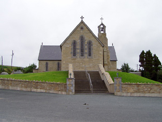 Saint Mary's Catholic Churchchurch/chapel · 1.1 mi
 Tober PatrickHoly well · 1.5 mi
 CornaferstMountain / peak · 3.2 mi
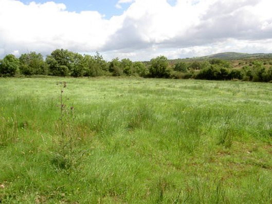 battlefieldbattlefield · 3.4 mi
 Battle of BallinamuckMajor battlefield · 3.4 mi
 Ballinamuck Bog LoopWalking route · 3.6 mi
 CastleBawn · 3.9 mi
 Ticosker WoodWood · 3.9 mi
 Giant's GraveArchaeological place · 4.0 mi
Other information
Photo: Credit not shown in the picture search · Rights wording not checked; contact us if this picture should be removed