DDiscover AloneMapAbout

Tlachtgha

Fairy fort / earthen ringfort

The monument record does not grant public access. Check the route and ask the landowner before entering private land.

What do you know about this place?Tap to add a comment or ask a question

What you write will be public.

What is recorded here

This National Monument is located at the summit of the broad Hill of Ward, or Tlachta, which is so called as it is the mythical burial place of Tlachtga, the daughter of Mog Ruith, a powerful Druid (Macalister 1919, 346-8). It was also an Oenach site, or meeting place (Westropp 1919, 8), and its significance extended…

Read the whole record
This National Monument is located at the summit of the broad Hill of Ward, or Tlachta, which is so called as it is the mythical burial place of Tlachtga, the daughter of Mog Ruith, a powerful Druid (Macalister 1919, 346-8). It was also an Oenach site, or meeting place (Westropp 1919, 8), and its significance extended into the middle ages. Ruaraí O’Conor, the last High King of Ireland, presided over an assembly here in AD 1168, and in 1172 Tiernan O’Rourke, King of Breifne, was murdered here by Hugh de Lacy, Earl of Meath (Killanin and Duignan 1962, 75). The hill can be considered one of the royal centres of Meath, and it is at the centre of a relict landscape that can only be recorded through remote sensing techniques and excavation. The surviving visible monument is difficult to classify, but is most likely to be a multivallate ringfort, the central mound of which probably has a complicated sequence of deposits. The monument is accessible through a stile at the cross-roads and there is parking for about two cars at the nearby water tanks. The grass-covered visible remains consist of a circular platform (diam. 35m) with a quarry trench dug through it from N to the centre and E. The platform is defined by a scarp (H c. 1-1.5m) with an external fosse or berm (Wth 4-8m), outside of which are four banks with associated fosses (max. ext. diam. c. 140m). The visible profile of the banks (Wth 3-7m; int. H 0.5-1.4m; ext. H 0.6-1.9m) and fosses are destroyed NE-SE and badly interrupted at other points. There is an apparent entrance through three of the outer banks at NNE, but a remote sensing survey (12R0057) suggests that the entrance is at E or ESE. This survey also recorded an earlier triple-ditched ceremonial enclosure (ME030-001001-) beneath the visible monument and extending beyond it to the SW (Davis 2017, 3). The survey also recovered evidence of a small enclosure (ME030-001002-) to the S defined by a ditch feature (diam. c. 35m) which has an entrance at E. This is probably a small rath and may be slightly earlier than the surviving visible monument as the outmost perimeter of the latter appears to cut it. Linear earthworks (TL3) extending E from the third bank appear to cut through the fourth bank and may represent a road that connects with a road (TLE2) associated with the fields (ME030-040----) further E. Archaeological testing (07E0388) by C. Duffy c. 100m to the N produced no related material (excavatioins.ie 2007:1417). Archaeological excavation (E004474) in Trench 1 during 2014 across the outermost bank at N revealed the inner ditch to be rock-cut (D of rock 0.75m), and a fox-tooth from it produced a C14 date in the fifth century AD. The outer ditch was wider and shallower (Wth of top 5.9m; Wth of base 2.9m; D 0.56m). A test-pit (No. 2) at the centre of the monument uncovered the upper levels of what is probably a back-filled quarry-pit over stratified hearths. An oak post from the hearths produced a date between the 11th and 13th centuries AD. During 2015 Trench 5 was placed at the interface of the third bank of this monument with the small rath to the S, and demonstrated that the rock-cut ditch (Wth of top 4m; D 0.64-0.74m) of the visible monument truncated that of the smaller enclosure. Its uniform fills were probably bank collapse. A hearth at the upper level produced crucible fragments with evidence of silver, lead and copper alloy working. Radiocarbon determinations for samples from both ditches fall within the range of 390-540 AD. For summaries of the excavations see this web-page accessed on 18/04/2017: http://www.excavations.ie/report/2014/Meath/0023689/ (Moore and Davis 2017) The above description is derived from the published 'Archaeological Inventory of County Meath' (Dublin: Stationery Office, 1987).

From the National Monuments Service (Archaeological Survey of Ireland) record ME030-001

Places near here

Photo credits
  • Maker not stated on source page, en.wikipedia.org
  • Maker not stated on source page, www.joinmychurch.com
  • Maker not stated on source page, www.dreamstime.com
  • Kmcnamee, Wikimedia Commons · CC BY-SA 4.0
  • National Inventory of Architectural Heritage
  • Meath Chronicle (individual photographer not named), www.meathchronicle.ie
  • Mike Searle, Geograph · CC BY-SA 2.0
Linear earthwork in TlachtaLinear earthwork · 388 yd

Explorer Tom Linear earthwork in Tlachta has a hidden treasure that's definitely a biscuit tin. Two parallel banks stretch three…
Church (in Ruins)Church · 874 yd

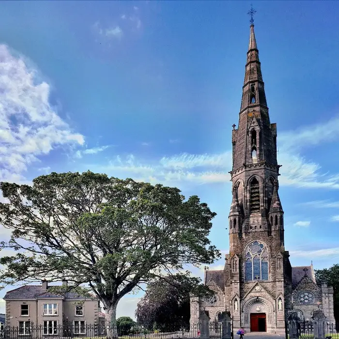
Explorer Tom Church in Tlachta is called Kilcumny, which means Remembrance Chapel, but it forgets everything else. It would glare at…

Flat cemetery in Curleyland and Mill LandFlat cemetery · 1243 yd

Explorer Tom Flat cemetery in Curleyland And Mill Land is just two spreads of burnt bone found during road works, which isn’t…

EnclosureEnclosure, large enclosure · 1349 yd

Explorer Tom Enclosure in Ráth Chairn would post a selfie of its massive bank and get zero likes. It is huge, wide, and bisected by…

Kells Road, Athboy, Clann na nGaelGAA ground · 1595 ydvent pipe1623 yd

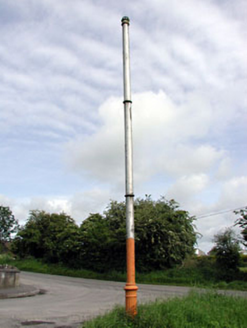
Explorer Tom This vent pipe in Town Parks once offended a bishop who refused to visit because of its smell. It stands proudly like a…
water pump1639 yd

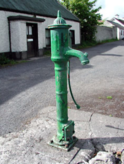
Explorer Tom Water pump in Town Parks handles nosey neighbors by just standing there and judging them silently. It’s got banding and…

sign post1746 yd

Explorer Tom Sign post in Town Parks is doing a great impression of being important with that delicate harp detail. The lettering is…

Ráth Cairn, Clann na nGaelGAA ground · 1759 ydSaint James's Vocational SchoolSchool · 1.0 mi

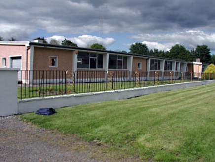
Explorer Tom Saint James's Vocational School in Fostersfields is suspicious of the postman, thinking he delivers bad news about…
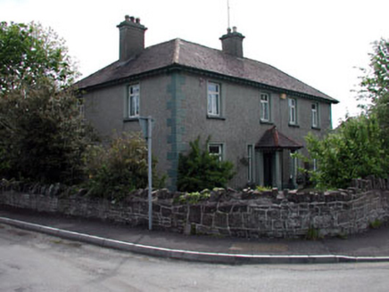
LynwoodHouse · 1.0 mi

Explorer Tom Lynwood in Eightyeight Acres makes a loud groaning sound at night when the wind hits its roughcast render. It sounds…

Fraine CastleCastle, tower house · 2.6 mi

Explorer Tom Fraine Castle in Fraine would put 'looking for a roof' on its dating profile. It’s got latrine chutes that look like…

More archaeology and monuments in County Meath · All of County Meath

Add to this placeAdd a picture Add a detailed tip Add a story

Explore the map1,095,414 places to discover

Next place · or swipeLinear earthwork in Tlachta