
What is recorded here
Situated on a gentle E-facing slope. According to the Civil Survey (1654-6) Edward Scurlock of Frane in Athboy parish owned 312 acres there in 1640 and the property included ‘two waste castles and a hall and a quarry, and some cottages’ (Simington 1940, 209). He also owned 225 acres in Drissoge and 228 acres in Dirlangan in the same parish (ibid. 212). This is a four-storey rectangular structure (ext. dims 7.4m E-W; 6.3m N-S), but most of the S part of the monument does not survive. It has an E-W barrel vault over the ground floor where the only other features are a light towards the W end of the S wall and breaks in the N and W walls. Only the ivy-covered N wall and the adjacent portions of the W and E walls survive with a garderobe at the NW corner, a fireplace in the centre of the N wall and a window with seats at its E end. There is a fragment of a window with a seat in the W wall. Corbels to support the ceiling are missing from the N wall and the E and W walls are recessed. The pattern is repeated at the second floor, except that there is no fireplace in the N wall and the corbels are also missing from the N wall. The third floor has a window without a seat at the W end of the N wall, a light at its E end, and the N sides of embrasures in the E and W walls survives although the parapet does not. Just 5m E of the tower house is the outline of a building (ext. dims 21.8m E-W; 9.5m N-S) defined by wall footings. A scarp runs E (L 25m) from its NE angle, then turns N (L c. 65m) and W (Wth c. 5m; H 0.3m; L c. 40m) as a bank with inner and outer ditches (Wth 4-5m; D up to 0.6m) to meet a N-S road bank. These features could describe a bawn around the tower house. East and S of these features there are further fields (ME029-018----) covering an area of about 9 acres (c. 3.5 ha).
Situated on a gentle E-facing slope. According to the Civil Survey (1654-6) Edward Scurlock of Frane in Athboy parish owned 312 acres there in 1640 and the property included ‘two waste castles and a hall and a quarry, and some cottages’ (Simington 1940, 209). He also owned 225 acres in Drissoge and 228 acres in Dirlangan in the same parish (ibid. 212). This is a four-storey rectangular structure (ext. dims 7.4m…
From the National Monuments Service (Archaeological Survey of Ireland) record ME029-017
The monument record does not grant public access. Check the route and ask the landowner before entering private land.
- What survives
- Recorded monument
Places near here
FraineMountain / peak · 355 yd Castletown HouseFarm house · 1.2 misign post1.3 miGrave YardGraveyard · 2.0 miTlachtghaMountain / peak · 2.6 miMoyrath CastleCastle, tower house · 2.9 miCastleCastle, motte · 4.2 miPersian Walnut4.4 miEuropean Yew4.5 miFarmaphobiaHeritage attraction · 4.6 miCausey FarmHeritage attraction · 4.6 miIndicatedGatehouse · 4.6 mi
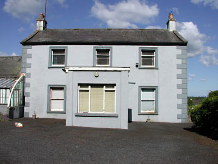 Castletown HouseFarm house · 1.2 mi
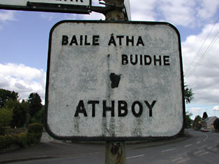 sign post1.3 mi
 Grave YardGraveyard · 2.0 miTlachtghaMountain / peak · 2.6 mi
 Moyrath CastleCastle, tower house · 2.9 mi
 CastleCastle, motte · 4.2 mi
 Persian Walnut4.4 mi
 European Yew4.5 miFarmaphobiaHeritage attraction · 4.6 miCausey FarmHeritage attraction · 4.6 mi
 IndicatedGatehouse · 4.6 mi
Pictures: National Inventory of Architectural Heritage; Rathkennamike2, Wikimedia Commons · CC BY-SA 4.0; Mike Searle, Geograph · CC BY-SA 2.0; Garry Dickinson, Geograph · CC BY-SA 2.0; surrealpenguin, Wikimedia Commons · CC BY-SA 2.0; Sitomon, Wikimedia Commons · CC BY-SA 2.0; Kieran Campbell, Geograph · CC BY-SA 2.0
More castles and forts in County Meath · All of County Meath
What do you know about this place?