
What is recorded here
Located towards the top of the S-facing slope of the broad Hill of Ward or Tlachta. The visible monument (ME030-001----) overlies a large subcircular enclosure (int. dims c. 170m x c. 195m) defined by three closely-spaced fosse features (ext. diam. c. 200-220m), which was identified in a remote sensing survey (12R0057). The three fosses sweeping from E to S appear to terminate at S, perhaps at an original entrance, although it is also c. 15m E of a modern installation, which may have disturbed their line. (Davis 2017, 3, TL 1)
Archaeological excavation (E004474) in Trench 2 during 2014 NW of the visible monument and across the innermost fosse of the ceremonial enclosure recorded a rock-cut ditch (Wth of top 3.4m; Wth of base 0.75-0.85m; D 0.76-1.13m). A piece of cattle bone from the top of the fill produced a C14 date in the fourth century BC. During 2015 Trench 4 across the three rock-cut ditches at SE recorded the outer as a V-shaped (Wth of top 2.4m; D 0.9m) fosse separated by a berm (Wth 7m) from the central V-shaped ditch (D 1.13m), which had been re-cut twice. A further berm (Wth 4m) separated the central from the inner U-shaped fosse (Wth of top 3.4m; Wth of base 1.44-2.16m; D 1.26m), which was re-cut once. Lines of stake-holes and post-holes at the edges of this ditch suggest the presence of post-and-wattle walls, perhaps to retain earthen banks. Small deposits of human remains in the ditches could be votary, and animal bones occur throughout the ditch deposits. The upper level of each ditch is associated with metalled surfaces, but C14 determinations for the base of the fosse deposits are c. 1100 BC. For summaries of the excavation see this web-page accessed on 18/04/2017: http://www.excavations.ie/report/2014/Meath/0023689/ (Moore and Davis 0217)
Compiled by: Michael Moore
Date of upload: 21 April, 2017
A local fairy fort (ringfort/rath); wider significance not recorded.
The monument record does not grant public access. Check the route and ask the landowner before entering private land.
- What survives
- Recorded monument
Places near here
 TlachtghaFairy fort / earthen ringfort · 59 yd
 Font in TlachtaFont · 887 yd
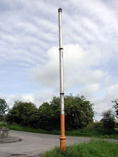 vent pipevent pipe · 1569 yd
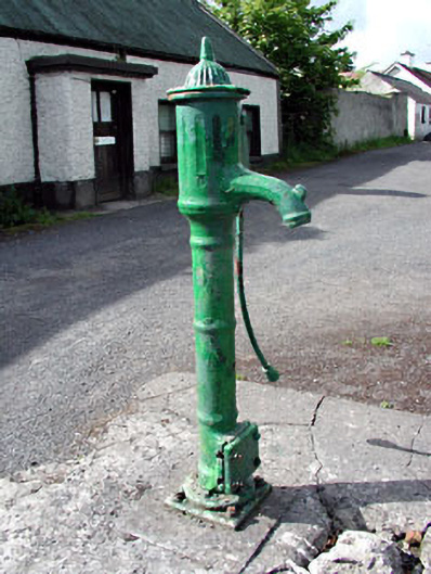 water pumpwater pump · 1585 yd
 CastleCastle, unclassified · 2.1 mi
 JamestownMountain / peak · 2.5 mi
 Fraine CastleCastle, tower house · 2.6 mi
 FraineMountain / peak · 2.8 mi
 FarmaphobiaHeritage attraction · 3.0 mi
 Causey FarmHeritage attraction · 3.1 mi
 Laurelberry WoodWood · 3.3 mi
 Girley WoodWood · 3.4 mi
Other information
Photo: Credit not shown in the picture search · Rights wording not checked; contact us if this picture should be removed