
What is recorded here
A castle at Castletown (38) in Athboy parish and Lune barony is depicted as a tower on the Down Survey (1656-8) barony map (http://downsurvey.tcd.ie/). According to the Civil Survey (1654-6) Lord Gormanstown owned 200 acres there in 1640 including ‘a ruinated castle and some cottages’ (Simington 1940, 208). It is depicted as an oblong building (dims c. 20m E-W; c. 13m N-S) on the 1836 ed. of the OS 6-inch map, and as a single wall (L c. 20m E-W) on the 1908 ed. Only the foundations of the NE corner (L c. 3m E-W; c. 2m N-S) almost obscured by sod remains c. 6m N of a small WNW-ESE stream.
The above description is derived from the published 'Archaeological Inventory of County Meath' (Dublin: Stationery Office, 1987). In certain instances the entries have been revised and updated in the light of recent research.
Compiled by: Michael Moore
Date of revision: 9 June 2016
Lord Gormanstown held Castle at Castletown in the mid-17th century, as recorded in the Civil Survey of 1654–56. Its depiction on the Down Survey map of 1656–8 highlights its status as a notable structure in the region during the post-Turnbull period of Irish history.
The monument record does not grant public access. Check the route and ask the landowner before entering private land.
- What survives
- Recorded monument
Places near here
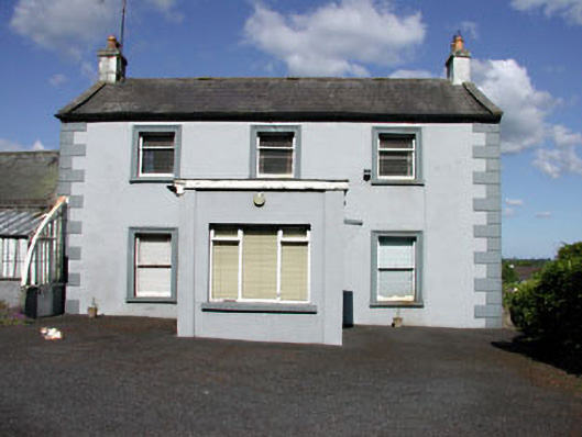 Castletown Housefarm house · 550 yd
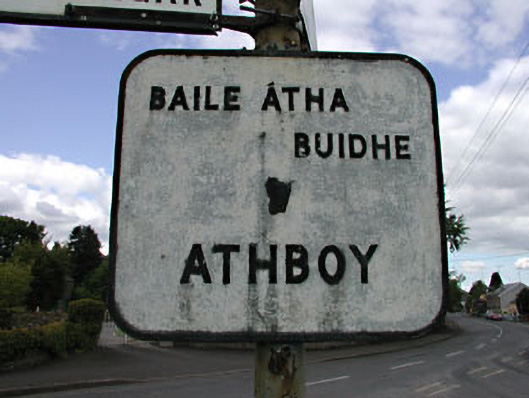 sign postsign post · 950 yd
 Town defences in Town Parks (lune By.)Town defences · 1542 yd
 Fraine CastleCastle, tower house · 1598 yd
 Fort woodedFairy fort / earthen ringfort · 1659 yd
 FraineMountain / peak · 1678 yd
 Bawn in Heathstown (delvin By.)Bawn · 2.7 mi
 Beggarbush WoodWood · 3.4 mi
 Drewstown LittleMountain / peak · 3.4 mi
 Moneen WoodWood · 3.5 mi
 FarmaphobiaHeritage attraction · 3.7 mi
 Causey FarmHeritage attraction · 3.7 mi
Other information
Photo: Credit not shown in the picture search · Rights wording not checked; contact us if this picture should be removed