What is recorded here
The base of an octagonal font (dim. 0.45m; visible H 11cm) with a central drain-hole and chamfered edges is inside the church (ME030-002----).
From the National Monuments Service (Archaeological Survey of Ireland) record ME030-002002
The monument record does not grant public access. Check the route and ask the landowner before entering private land.
- What survives
- Recorded monument
Places near here
Photo credits
- National Inventory of Architectural Heritage
- Garry Dickinson, Geograph · CC BY-SA 2.0
- Mike Searle, Geograph · CC BY-SA 2.0
- Kieran Campbell, Geograph · Creative Commons Attribution-ShareAlike 2.0
- Kieran Campbell, Geograph · CC BY-SA 2.0
- Billy Irwin, Wikimedia Commons · CC BY-SA 2.0
TlachtghaMountain / peak · 878 yd vent pipe1.3 miwater pump1.3 miCastleCastle, motte · 1.7 miJamestownMountain / peak · 2.4 miFraine CastleCastle, tower house · 2.8 miGrave YardGraveyard · 3.1 miIndicatedGatehouse · 3.2 miFarmaphobiaHeritage attraction · 3.5 miLaurelberry WoodWood · 3.8 miGirley WoodWood · 3.8 miTrim CastleVisitor information · 5.9 mi
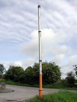 vent pipe1.3 mi
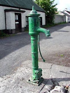 water pump1.3 mi
 CastleCastle, motte · 1.7 miJamestownMountain / peak · 2.4 mi
 Fraine CastleCastle, tower house · 2.8 mi
 Grave YardGraveyard · 3.1 mi
 IndicatedGatehouse · 3.2 miFarmaphobiaHeritage attraction · 3.5 miLaurelberry WoodWood · 3.8 miGirley WoodWood · 3.8 mi
 Trim CastleVisitor information · 5.9 mi
More archaeology and monuments in County Meath · All of County Meath
What do you know about this place?