
What is recorded here
From the National Monuments Service (Archaeological Survey of Ireland) record ME030-038
Places near here
Photo credits
- Maker not stated on source page, www.dreamstime.com
- Maker not stated on source page, www.joinmychurch.com
- Kmcnamee, Wikimedia Commons · CC BY-SA 4.0
- Maker not stated on source page, en.wikipedia.org
- National Inventory of Architectural Heritage
- Meath Chronicle (individual photographer not named), www.meathchronicle.ie
- Maker not stated on source page, ru.pinterest.com
 Flat cemetery in Curleyland and Mill LandFlat cemetery · 862 yd
Explorer Tom Flat cemetery in Curleyland And Mill Land is just two spreads of burnt bone found during road works, which isn’t…
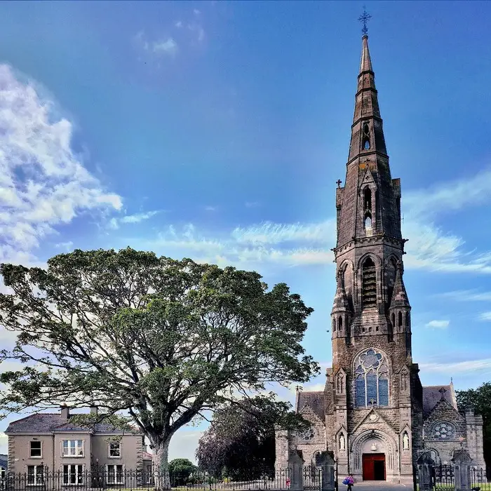 Church (in Ruins)Church · 1187 yd
Explorer Tom Church in Tlachta is called Kilcumny, which means Remembrance Chapel, but it forgets everything else. It would glare at…
 Kells Road, Athboy, Clann na nGaelGAA ground · 1537 yd
 EnclosureEnclosure, large enclosure · 1592 yd
Explorer Tom Enclosure in Ráth Chairn would post a selfie of its massive bank and get zero likes. It is huge, wide, and bisected by…
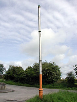 vent pipe1682 yd
Explorer Tom This vent pipe in Town Parks once offended a bishop who refused to visit because of its smell. It stands proudly like a…
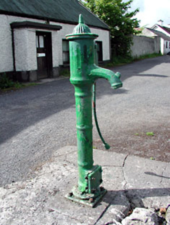 water pump1701 yd
Explorer Tom Water pump in Town Parks handles nosey neighbors by just standing there and judging them silently. It’s got banding and…
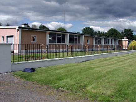 Saint James's Vocational SchoolSchool · 1.0 mi
Explorer Tom Saint James's Vocational School in Fostersfields is suspicious of the postman, thinking he delivers bad news about…
 sign post1.0 mi
Explorer Tom Sign post in Town Parks is doing a great impression of being important with that delicate harp detail. The lettering is…
 Athboy LodgeDemesne walls/gates/railings · 1.0 mi
Explorer Tom Athboy Lodge gates nearly got famous when a film crew mistook them for a castle entrance, which would have been great.…
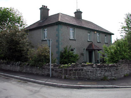 LynwoodHouse · 1.1 mi
Explorer Tom Lynwood in Eightyeight Acres makes a loud groaning sound at night when the wind hits its roughcast render. It sounds…
 Ráth Cairn, Clann na nGaelGAA ground · 1.2 mi
 Stone sculpture in RathmoreStone sculpture · 1.2 mi
Explorer Tom Stone sculpture in Rathmore is a labyrinth that the weather has been actively trying to erase for centuries. It’s one…
More archaeology and monuments in County Meath · All of County Meath

What do you know about this place?Tap to add a comment or ask a question