What is recorded here
Located on the gentle E-facing slope of the broad Hill of Ward or Tlachta. A remote sensing survey (14R0059) in the field E of the Tlachta earthwork (ME030-001----) identified a number of linear features some of which are interpreted as a roadway (TLE2) connecting the visible rath with the settlement cluster (ME030-34----) which is c. 700m to its E. The routes centre on a pond (TLE4), around which are three or four rectangular enclosures or fields (dims 63m x 36m to 93m x 55m), some of which may have associated house platforms. (Davis 2017, 4, 5)
Compiled by: Michael Moore
Date of upload: 21 April, 2017
The monument record does not grant public access. Check the route and ask the landowner before entering private land.
- What survives
- Recorded monument
Places near here
 TlachtghaFairy fort / earthen ringfort · 516 yd
 Font in TlachtaFont · 544 yd
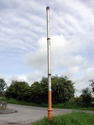 vent pipevent pipe · 1.2 mi
 AbbeyChurch · 1.3 mi
 CastleCastle, motte · 1.5 mi
 JamestownMountain / peak · 2.3 mi
 Fraine CastleCastle, tower house · 2.9 mi
 FraineMountain / peak · 3.0 mi
 FarmaphobiaHeritage attraction · 3.2 mi
 Causey FarmHeritage attraction · 3.2 mi
 Laurelberry WoodWood · 3.5 mi
 Girley WoodWood · 3.5 mi