
What is recorded here
Detached two-bay two-storey rendered former rectory, built c. 1815, now private house. Rectangular plan to original house, single-storey lean-to extension to north gable, two-bay two-storey wing to west c. 1820. Hipped slate roofs, clay ridge and hip tiles, centrally-positioned red brick corbelled chimneystack to original house, yellow brick corbelled chimneystacks to west wing, half-round cast-iron gutters on eaves corbel course. Unpainted smooth-rendered walling, high parapet wall to east of north extension concealing corrugated-iron lean-to roof. Square-headed window openings, ground floor windows to east elevation set in elliptical-headed recesses, painted smooth-rendered slightly-projecting reveals, stone sills, painted six-over-six timber sash windows to east and south elevations, three-over-three to first floor, various painted timber casement windows to courtyard elevations including elaborate diamond-paned fixed light to west elevation of north extension. Square-headed entrance doorway in east side of north extension, Gibbsian dressed ashlar limestone surround, painted timber door with ten flush-beaded panels. Courtyard to north-west enclosed on west and north sides by two-storey outbuildings, pitched slate roofs, external stone staircase on north gable of west range. Set in landscaped gardens, church to north, tall roughcast boundary wall to Mill Street, painted vertically-sheeted timber gates with concave top surmounted with cast-iron embellishments on roughly-dressed stone pillars with rustic tufa caps.
This former rectory is important socially and historically owing to its association with the adjacent Saint Anne's Church. The building also retains many original features including sash windows, slate roof and panelled entrance door. It is enticingly set behind a high boundary wall on the approach to the village from the east.
This does not grant access. Most recorded buildings are privately owned; view them only from public ground unless the owner allows entry.
Places near here
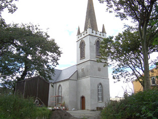 Saint Anne's Church (Easky)church/chapel · 68 yd
 Cross in CurraghnagapCross · 78 yd
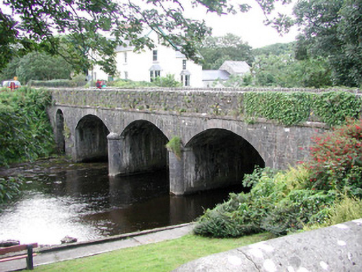 bridgebridge · 83 yd
 Field boundary in BunownaField boundary · 238 yd
 Bawn in CastletownBawn · 743 yd
 Wild Atlantic Way: Easky PierVisitor information · 869 yd
 Roslee CastleCastle, tower house · 902 yd
 Bunowna PointHeadland · 1045 yd
 Jim Smith MemorialMemorial · 1592 yd
 Cooanmore PointHeadland · 1.3 mi
 Wild Atlantic Way: Inishcrone PierVisitor information · 7.0 mi
 Grave of the Black PigArchaeological place · 7.8 mi
Other information
Photo: National Inventory of Architectural Heritage · Website use allowed for educational or private purposes with source credit