What is recorded here
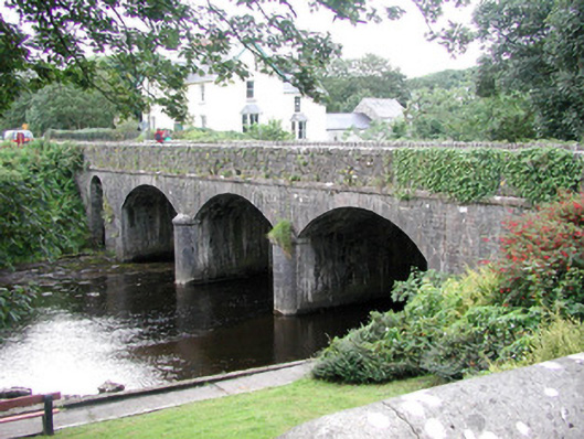
Four-span limestone road-over-river bridge, built 1847. Coursed rubble stone spandrels and parapets, ashlar string at deck level, rubble stone copings to parapets. Three segmental-headed arches to west, single round-headed narrow arch to east, dressed stone voussoirs, semi-circular dressed stone cutwaters with impost strings and domed caps. Bitmac double carriageway with concrete pedestrian footpath to south side. Spans Easky River at east entry to village.
This fine stone bridge is a vital part of the townscape of Easky marking the eastern approach to the village. It is well detailed and constructed with engineered precision.
From the Buildings of Ireland (National Inventory of Architectural Heritage) record 32306007
This does not grant access. Most recorded buildings are privately owned; view them only from public ground unless the owner allows entry.
Places near here
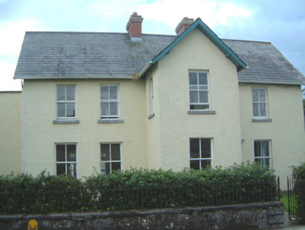 Old Parochial HouseHouse · 43 yd
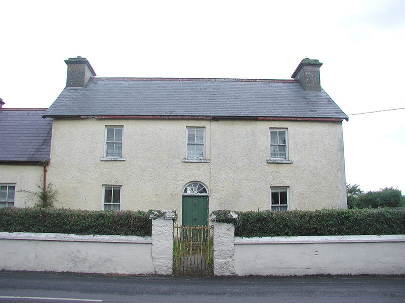 Bridge HouseHouse · 53 yd
 Wild Atlantic Way: Easky PierVisitor information · 803 yd
 Roslee CastleCastle, tower house · 841 yd
 Cooanmore PointHeadland · 1.3 mi
 Split RockNamed rock · 1.6 mi
 TowerSignal tower · 3.3 mi
 Wild Atlantic Way: Inishcrone PierVisitor information · 7.1 mi
 Enniscrone BeachBeach / strand · 8.2 mi
 Moyne AbbeyHeritage attraction · 10 mi
 Rosserk AbbeyHeritage attraction · 11 mi
 Hawthorn11 mi
Pictures: National Inventory of Architectural Heritage; Mick Garratt, Geograph · CC BY-SA 2.0; Michael Dibb, Geograph · CC BY-SA 2.0; Oliver Dixon, Geograph · CC BY-SA 2.0; Colin Park, Geograph · CC BY-SA 2.0; Mike Searle, Geograph · CC BY-SA 2.0; Florentchevallier, Wikimedia Commons · CC BY-SA 4.0; Robin Mais, Geograph · CC BY-SA 2.0; Andreas F. Borchert, Wikimedia Commons · CC BY-SA 4.0; Didier Descouens, Wikimedia Commons · CC BY-SA 4.0
More historic places in County Sligo · All of County Sligo
What do you know about this place?