
What is recorded here
Overlooking the sea to the N and the estuary of the River Easky to the W. The OS Letters (1836, 283 (115)), 286-7 (116-7)) recorded that the castle was built by Oliver McDonnell in 1207 and it remained in the possession of that family until 1549. In 1603, the first year of the reign of King James 1, it was granted to Daniel O'Dowd. A contemporary description of the property recorded '2 castles, a kitchen and bakehouse within the bawn of Roslee' (ITA Survey 1942-4, 11). A late 18th-century plan and drawing depicts a rectangular keep with an adjoining building, aligned E-W, at the E side. The adjoining building is rectangular in plan, longer and narrower than the keep. Extending N from the NW angle of the keep is a length of bawn wall (Grose 1797, vol. 1, 59). Only the keep now survives. This comprises a three-storey rectangular structure (12.05m E-W; 9m N-S - Wall T 2.05m) with a slight base batter. The original entrance (Wth. 1.65m), now blocked up, is at the N end of the E wall. The present entrance, formerly a window embrasure, is in the centre of the S wall. The E 1/3 of the barrel vault which covers ground-floor level is absent. A mural stairway, commencing at the N end of the E wall and returning S, gives access to the first-floor level. In the centre of the E wall, at first-floor level, is a large blocked-up window. There are also single-light windows in the S, W and N walls. There is a garderobe in the NW angle. A mural stairs in the S wall rises directly to the battlement level. Access to the second-floor level must, therefore, have been by a wooden stairway. The second-floor level is lit by windows in S and W walls only. Casey (1999, 195, P3) noted this as a potential promontory fort but on inspection, apart from some bumps and hollows inland of the tower house, there was no evidence to suggest that it was the site of an earlier promontory fort. O'Donovan
Updated by: Olive Alcock
Date of upload: 11 December 2014
Overlooking the sea to the N and the estuary of the River Easky to the W. The OS Letters (1836, 283 (115)), 286-7 (116-7)) recorded that the castle was built by Oliver McDonnell in 1207 and it remained in the possession of that family until 1549. In 1603, the first year of the reign of King James 1, it was granted to Daniel O'Dowd. A contemporary description of the property recorded '2 castles, a kitchen and…
From the National Monuments Service (Archaeological Survey of Ireland) record SL011-020
The monument record does not grant public access. Check the route and ask the landowner before entering private land.
- What survives
- Recorded monument
Places near here
 Wild Atlantic Way: Easky PierVisitor information · 73 yd
 Easky Vocational SchoolSchool · 732 yd
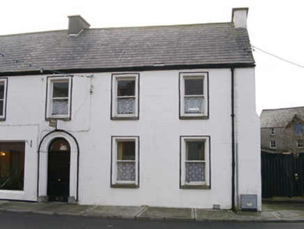 Swan HouseHouse · 799 yd
 Cooanmore PointHeadland · 1.0 mi
 Split RockNamed rock · 1.8 mi
 TowerSignal tower · 3.5 mi
 Wild Atlantic Way: Inishcrone PierVisitor information · 7.5 mi
 Aughris BeachBeach / strand · 8.4 mi
 Enniscrone BeachBeach / strand · 8.6 mi
 Moyne AbbeyHeritage attraction · 11 mi
 Rosserk AbbeyHeritage attraction · 11 mi
 Hawthorn11 mi
Pictures: Mick Garratt, Geograph · CC BY-SA 2.0; National Inventory of Architectural Heritage; Oliver Dixon, Geograph · CC BY-SA 2.0; Colin Park, Geograph · CC BY-SA 2.0; Mike Searle, Geograph · CC BY-SA 2.0; Florentchevallier, Wikimedia Commons · CC BY-SA 4.0; Michael Dibb, Geograph · CC BY-SA 2.0; Robin Mais, Geograph · CC BY-SA 2.0; Andreas F. Borchert, Wikimedia Commons · CC BY-SA 4.0; Didier Descouens, Wikimedia Commons · CC BY-SA 4.0
More castles and forts in County Sligo · All of County Sligo
What do you know about this place?