What is recorded here
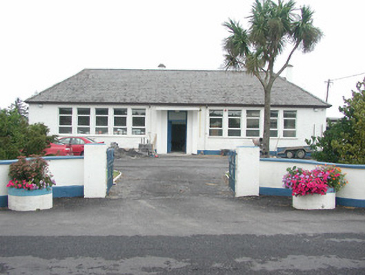
Detached multiple-bay single-storey rendered school, built 1948. Central rectangular hipped-roof block linked by flat-roofed sections set back from front (south) elevation to gable-fronted east and west wings with further L-plan north-south block to rear (north). Hipped and pitched slate roofs, clay ridge and hip tiles, painted smooth-rendered corbelled chimneystacks, painted timber bargeboards, profiled extruded aluminium gutters c. 2000 on projecting eaves, cast-iron downpipes. Painted roughcast walling, smooth-rendered plinth. Square-headed window openings separated by slender masonry piers, smooth-rendered slightly-projecting reveals, painted concrete sills, uPVC casement windows c. 2000. Square-headed centrally-located entrance door opening, flat concrete canopy with channelled leading edge carried on painted concrete pilasters sweeping out to form deep concave consoles, painted timber double door each with two raised-and-fielded panels, plain-glazed overlight. Set in gravelled carpark, grass lawn to south, grass areas and playing fields to north, two-entrance gate sweeps to south with painted smooth-rendered walls with saddle-back coping and gate pillars, rubble stone boundary walls fronting onto main road.
This school is typical of a building type produced by the State to accommodate the growing need for training in the post-Second World War period. Although modified and extended, the main block retains its slate roof, modernist canopied entrance porch and distinctive fenestration.
From the Buildings of Ireland (National Inventory of Architectural Heritage) record 32306013
This does not grant access. Most recorded buildings are privately owned; view them only from public ground unless the owner allows entry.
Places near here
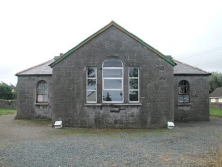 Easky CourthouseCourt house · 81 yd
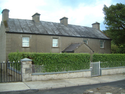 Inver ViewHouse · 95 yd
 Wild Atlantic Way: Easky PierVisitor information · 678 yd
 Roslee CastleCastle, tower house · 732 yd
 Cooanmore PointHeadland · 1.1 mi
 Split RockNamed rock · 1.5 mi
 TowerSignal tower · 3.4 mi
 Wild Atlantic Way: Inishcrone PierVisitor information · 7.2 mi
 Aughris BeachBeach / strand · 8.3 mi
 Enniscrone BeachBeach / strand · 8.3 mi
 Moyne AbbeyHeritage attraction · 11 mi
 Rosserk AbbeyHeritage attraction · 11 mi
Pictures: National Inventory of Architectural Heritage; Mick Garratt, Geograph · CC BY-SA 2.0; Michael Dibb, Geograph · CC BY-SA 2.0; Oliver Dixon, Geograph · CC BY-SA 2.0; Colin Park, Geograph · CC BY-SA 2.0; Mike Searle, Geograph · CC BY-SA 2.0; Florentchevallier, Wikimedia Commons · CC BY-SA 4.0; Robin Mais, Geograph · CC BY-SA 2.0; Andreas F. Borchert, Wikimedia Commons · CC BY-SA 4.0
More historic places in County Sligo · All of County Sligo
What do you know about this place?