What is recorded here
In pasture, on broad N-S orientated ridge. Slightly raised circular area (22m N-S; 21m E-W) enclosed by a low bank of earth and stone (Wth 4.8m; int. H 0.3m). There is no fosse visible at ground level. The external face of the bank is revetted along its base by large limestone blocks (av. L 0.95m; T 0.45m) at SW. From SE-S-SW, the bank has been removed and the precise limit of the site is difficult to determine here. The bank has also been removed NNW-N-NE where the footings of a post-medieval house abut the external edge of the site. The original entrance to the rath is not recognisable. A field bank (SL011-022001-), in all probability associated with the rath, lies 12m to the SW.
Compiled by: Mark Keegan
Date of upload: 19 January 2011
This remains an important historical record, but the official description says the monument is no longer visible or has been destroyed. The monument record does not grant public access. Check the route and ask the landowner before entering private land.
- What survives
- No visible remains or recorded as destroyed
Places near here
 Field boundary in BunownaField boundary · 29 yd
 AbbeyChurch · 135 yd
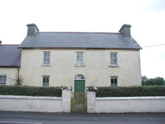 Bridge Househouse · 158 yd
 Cross in CurraghnagapCross · 190 yd
 Bawn in CastletownBawn · 521 yd
 Wild Atlantic Way: Easky PierVisitor information · 607 yd
 Roslee CastleCastle, tower house · 646 yd
 Bunowna PointHeadland · 836 yd
 Jim Smith MemorialMemorial · 1361 yd
 Cooanmore PointHeadland · 1.2 mi
 Wild Atlantic Way: Inishcrone PierVisitor information · 7.2 mi
 Grave of the Black PigArchaeological place · 8.0 mi