
What is recorded here
At a fortification (SL011-019---). Between 0.4m and 5.9m out from the W and N sides of the N extent of the fortification is a low, curving bank (Wth. 1.45-4m; H 0.25-0.4m) of earth and stone which probably marks the circuit of a bawn wall.
Compiled by: Patrick F. O'Donovan
Date of upload: 19 January 2011
A local castle; wider significance not recorded.
The monument record does not grant public access. Check the route and ask the landowner before entering private land.
- What survives
- Recorded monument
Places near here
 Roslee CastleCastle, tower house · 257 yd
 Wild Atlantic Way: Easky PierVisitor information · 285 yd
 Bunowna PointHeadland · 316 yd
 Field boundary in BunownaField boundary · 538 yd
 ToberabiddeenHoly well · 558 yd
 AbbeyChurch · 592 yd
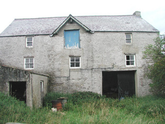 Swan Houseoutbuilding · 628 yd
 Jim Smith MemorialMemorial · 1314 yd
 Cooanmore PointHeadland · 1.2 mi
 CastleCastle, ringwork · 1.4 mi
 Wild Atlantic Way: Inishcrone PierVisitor information · 7.3 mi
 Grave of the Black PigArchaeological place · 8.2 mi
Other information
Photo: Credit not shown in the picture search · Rights wording not checked; contact us if this picture should be removed