What is recorded here
Situated in good pasture on a N-facing slope overlooking the Atlantic Ocean. Raised circular area (diam. 25.5m) enclosed by two low banks of earth and stone with shallow intermediate fosse. Both faces of the outer bank are faced with stone, some of which are quite large. Both banks have been levelled from NW-N-NE. The original entrance is almost certainly at ENE where there is a stone-lined break in the outer bank (Wth. 1.1m) with a much disturbed causeway across the fosse and a corresponding break in the inner bank. There are other causeway type features present immediately S of the entrance and at NE. There is a possible house site within the interior (SL011-009002-). O'Donovan
Date of upload: 19 January 2011
Situated in good pasture on a N-facing slope overlooking the Atlantic Ocean. Raised circular area (diam. 25.5m) enclosed by two low banks of earth and stone with shallow intermediate fosse. Both faces of the outer bank are faced with stone, some of which are quite large. Both banks have been levelled from NW-N-NE. The original entrance is almost certainly at ENE where there is a stone-lined break in the outer…
From the National Monuments Service (Archaeological Survey of Ireland) record SL011-009001
The monument record does not grant public access. Check the route and ask the landowner before entering private land.
- What survives
- Recorded monument
Places near here
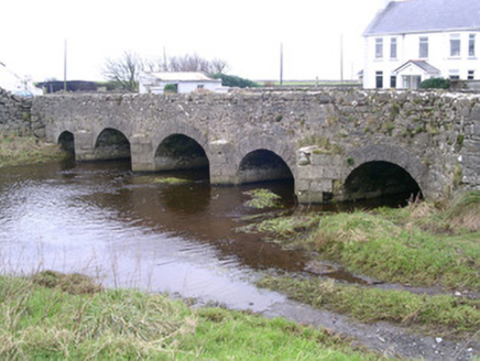 Finned BridgeBridge · 374 yd
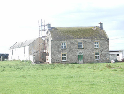 Finned HouseHouse · 604 yd
 Roslee CastleCastle, tower house · 1.6 mi
 Wild Atlantic Way: Easky PierVisitor information · 1.6 mi
 TowerSignal tower · 1.9 mi
 Cooanmore PointHeadland · 2.6 mi
 Split RockNamed rock · 2.9 mi
 Wild Atlantic Way: Inishcrone PierVisitor information · 6.1 mi
 Enniscrone BeachBeach / strand · 7.2 mi
 Moyne AbbeyHeritage attraction · 9.4 mi
 Rosserk AbbeyHeritage attraction · 9.9 mi
 Hawthorn10 mi
Pictures: National Inventory of Architectural Heritage; Michael Dibb, Geograph · CC BY-SA 2.0; Mick Garratt, Geograph · CC BY-SA 2.0; Mike Searle, Geograph · CC BY-SA 2.0; Oliver Dixon, Geograph · CC BY-SA 2.0; Colin Park, Geograph · CC BY-SA 2.0; Florentchevallier, Wikimedia Commons · CC BY-SA 4.0; Robin Mais, Geograph · CC BY-SA 2.0; Andreas F. Borchert, Wikimedia Commons · CC BY-SA 4.0; Didier Descouens, Wikimedia Commons · CC BY-SA 4.0
More castles and forts in County Sligo · All of County Sligo
What do you know about this place?