
What is recorded here
Situated at base of slight W-facing slope in pasture. Named 'Toberabiddeen' on the 1837 and 1913 OS 6-inch maps. The well had been infilled with small stones leaving a level area of rubble (5m N-S; 4m E-W) that is flush with the field surface. An irregular outflow runs from the W side of the rubble area. A possible cairn (SL011-015002-) is associated with the well.
Compiled by: Patrick F. O'Donovan
Date of upload: 19 January 2011
Toberabiddeen is traditionally associated with Saint Abiddeen (or Abideen), a lesser-known early Irish saint, and was likely a site of pilgrimage and healing. The name "Toberabiddeen" (well of Abiddeen) suggests a local tradition of venerating the saint, though specific cures or rituals connected to the well are not well documented.
The monument record does not grant public access. Check the route and ask the landowner before entering private land.
- What survives
- Recorded monument
Places near here
 IndicatedFairy fort / earthen ringfort · 337 yd
 Bawn in CastletownBawn · 558 yd
 Bunowna PointHeadland · 595 yd
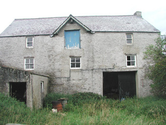 Swan Houseoutbuilding · 614 yd
 AbbeyChurch · 749 yd
 Field boundary in BunownaField boundary · 780 yd
 Roslee CastleCastle, tower house · 804 yd
 Wild Atlantic Way: Easky PierVisitor information · 842 yd
 Jim Smith MemorialMemorial · 1.1 mi
 Cooanmore PointHeadland · 1.5 mi
 Wild Atlantic Way: Inishcrone PierVisitor information · 7.1 mi
 Grave of the Black PigArchaeological place · 7.9 mi
Other information
Photo: Credit not shown in the picture search · Rights wording not checked; contact us if this picture should be removed