What is recorded here
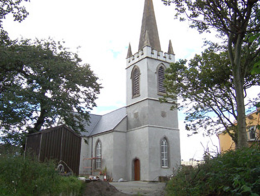
Detached rendered Church of Ireland church, built c. 1750, remodelled c. 1820. Cruciform plan, engaged square three-stage tower and octagonal spire to east end. Pitched slate roofs, clay ridge tiles, half-round cast-iron gutters on eaves corbel course, cast-iron downpipes. Unpainted roughcast walling, smooth-rendered plinth, ashlar limestone string courses to tower, blank shield plaques to each face of second stage, crenellated parapet with ashlar limestone copings and pyramidal pinnacles at corners, ashlar limestone spire. Pointed-arch window openings, dressed limestone chamfered reveals, flush sills, painted timber-framed Y-tracery windows with rectangular panes, stained-glass leaded-light chancel window. Ogee-headed door opening to south side of tower, dressed limestone chamfered surround inscribed '1820' at head, hardwood vertically-sheeted double doors 2004. Internally a spiral staircase rises to gallery and bell ringers room, timber panelled gallery front, painted plastered walling, panelled wainscotting, A-truss roof on stone corbels, exposed rafters. On elevated site located behind high roughcast boundary wall, dressed limestone gate piers with wrought-iron gates to south-east, graveyard, former rectory to south.
This is a fine example of a Board of First Fruits-influenced church, typical of an era of expansive Anglican church building in Ireland in the early nineteenth century. The building remains an important component of the village's streetscape historically, socially and visually.
This does not grant access. Most recorded buildings are privately owned; view them only from public ground unless the owner allows entry.
Places near here
 Cross in CurraghnagapCross · 42 yd
 The Old Rectoryrectory/glebe/vicarage/curate's house · 68 yd
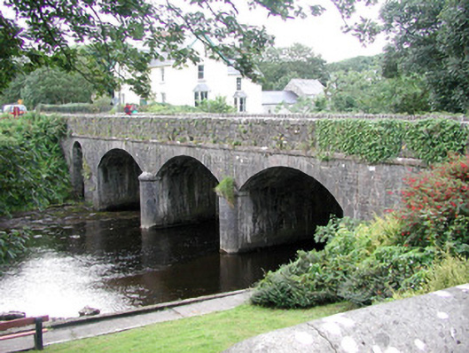 bridgebridge · 87 yd
 Field boundary in BunownaField boundary · 191 yd
 Bawn in CastletownBawn · 677 yd
 Wild Atlantic Way: Easky PierVisitor information · 813 yd
 Roslee CastleCastle, tower house · 843 yd
 Bunowna PointHeadland · 978 yd
 Jim Smith MemorialMemorial · 1569 yd
 Cooanmore PointHeadland · 1.3 mi
 Wild Atlantic Way: Inishcrone PierVisitor information · 7.1 mi
 Grave of the Black PigArchaeological place · 7.9 mi
Other information
Photo: National Inventory of Architectural Heritage · Website use allowed for educational or private purposes with source credit