
What is recorded here
In pasture, on a N-S ridge, located 12m to S of a rath (SL011-022001-). Substantial bank (L 40m E-W; Wth 3.5m; H 0.4m) of earth and stone. From its SE end, where it is truncated by a modern field wall, it curves to NW along the level summit of the ridge and then continues down slope, stopping c. 15m short of the E bank of the Easky River. The form of bank suggests that it is associated with the nearby rath.
Compiled by: Mark Keegan
Date of upload: 19 January 2011
The monument record does not grant public access. Check the route and ask the landowner before entering private land.
- What survives
- Recorded monument
Places near here
 AbbeyChurch · 106 yd
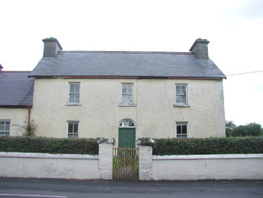 Bridge Househouse · 135 yd
 Cross in CurraghnagapCross · 161 yd
 Bawn in CastletownBawn · 538 yd
 Field system in BunownaField system · 549 yd
 Wild Atlantic Way: Easky PierVisitor information · 633 yd
 Roslee CastleCastle, tower house · 671 yd
 Bunowna PointHeadland · 852 yd
 Jim Smith MemorialMemorial · 1389 yd
 Cooanmore PointHeadland · 1.2 mi
 Wild Atlantic Way: Inishcrone PierVisitor information · 7.2 mi
 Grave of the Black PigArchaeological place · 8.0 mi
Other information
Photo: Credit not shown in the picture search · Rights wording not checked; contact us if this picture should be removed