
What is recorded here
In gently undulating coastal grassland, immediately NE of Easkey village. Ground falls very gently for 300m to N ending at a rocky shoreline. The Easkey River lies to E, opening into the sea c. 500m to NE. A fragmentary field system extends over an area of c. 300m N–S by c. 400m E-W, across three adjacent modern rectangular fields. The field boundaries, which follow roughly N–S, E–W and NE–SW axes, have been levelled and can be traced intermittently as barely discernible surface undulations, mostly visible only at an oblique angle. Several field boundaries intersect but the complete outlines of individual fields can not be traced. Incorporated into the field boundaries towards the NE of their extent, are a circular enclosure (SL011-143----) and a subrectangular enclosure (SL011-143002-).
Compiled by: Jane O'Shaughnessy
Date of upload: 23 April 2014
The monument record does not grant public access. Check the route and ask the landowner before entering private land.
- What survives
- Recorded monument
Places near here
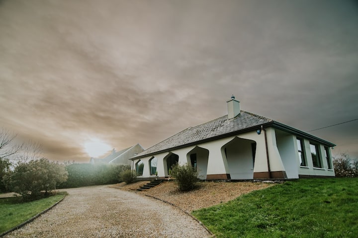 Enclosure in BunownaEnclosure · 194 yd
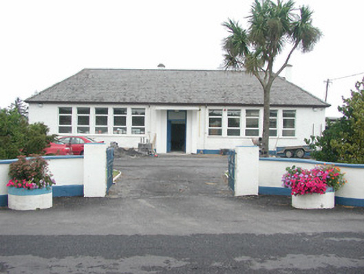 Easky Vocational Schoolschool · 409 yd
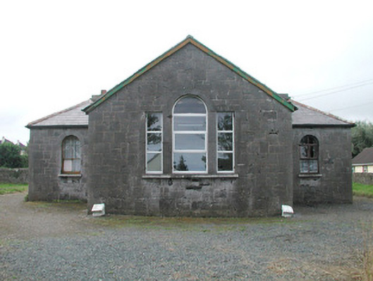 Easky Courthousecourt house · 478 yd
 Wild Atlantic Way: Easky PierVisitor information · 539 yd
 Field boundary in BunownaField boundary · 549 yd
 Roslee CastleCastle, tower house · 611 yd
 Bawn in CastletownBawn · 700 yd
 Jim Smith MemorialMemorial · 852 yd
 Bunowna PointHeadland · 959 yd
 Cooanmore PointHeadland · 1575 yd
 Wild Atlantic Way: Inishcrone PierVisitor information · 7.5 mi
 Aughris BeachBeach / strand · 8.1 mi
Other information
Photo: Credit not shown in the picture search · Rights wording not checked; contact us if this picture should be removed