What is recorded here
Located in the N half of a modern walled rectangular field, located in gently undulating coastal grassland. Ground falls very gently for 300m to N ending at a rocky shoreline. The Easkey River lies to E, opening into the sea c. 600m to NE of the enclosure. Subrectangular area (c. 24m NE–SW; c. 15-20m NW–SE) defined by the barely discernible undulations of a levelled bank. The outline of the bank can still be traced in part at S, W and N but is almost entirely obliterated on the E side. The interior is not raised above exterior ground level. Remnants of a levelled field boundary, part of a field system (SL011-143003-), extend to S from the S side of the enclosure. Remnants of another field boundary extend for c. 40m to NW, linking this enclosure to another enclosure (SL011-143001-).
Compiled by: Jane O'Shaughnessy
Date of upload: 31 December 2013
The monument record does not grant public access. Check the route and ask the landowner before entering private land.
- What survives
- Recorded monument
Places near here
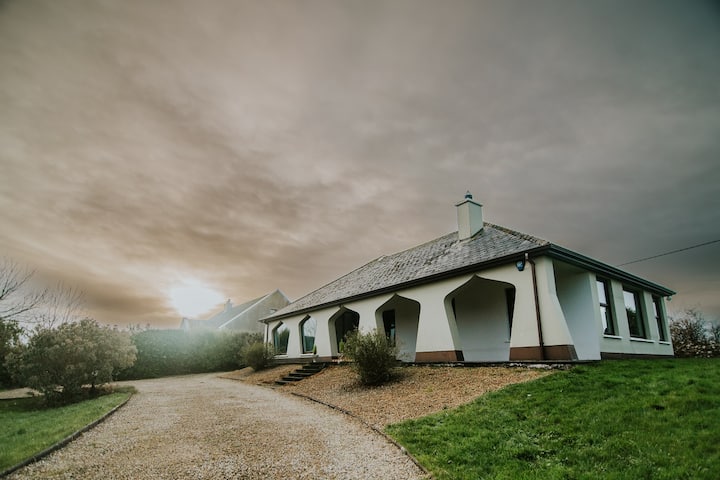 Enclosure in BunownaEnclosure · 77 yd
 Field system in BunownaField system · 180 yd
 Wild Atlantic Way: Easky PierVisitor information · 543 yd
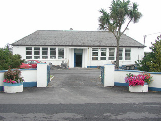 Easky Vocational Schoolschool · 588 yd
 Roslee CastleCastle, tower house · 614 yd
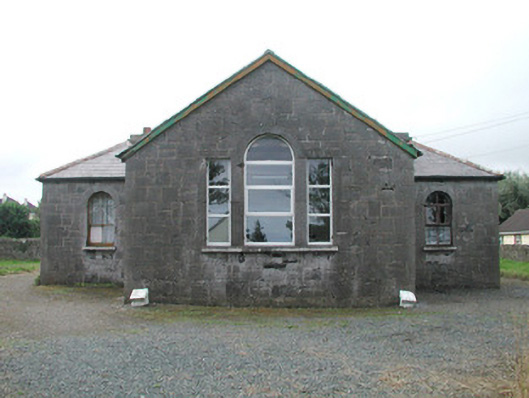 Easky Courthousecourt house · 658 yd
 Jim Smith MemorialMemorial · 677 yd
 Bawn in CastletownBawn · 763 yd
 Bunowna PointHeadland · 979 yd
 Cooanmore PointHeadland · 1409 yd
 Wild Atlantic Way: Inishcrone PierVisitor information · 7.6 mi
 Aughris BeachBeach / strand · 8.0 mi