What is recorded here
In the NW corner of a modern walled rectangular field, located in gently undulating coastal grassland, immediately NE of Easkey village. Ground falls very gently for 300m to N ending at a rocky shoreline. The Easkey River lies to E, opening into the sea c. 560m to NE of the enclosure. This enclosure has been partly levelled. It survives as a slightly raised circular area (24.5m N-S; c. 25m E–W) defined at SW–NW by a broadly slumped bank (Wth 4-4.5m) with a relatively pronounced external scarp (ext. H 0.75m). At NNW–S the bank has been levelled and can be traced only as a low curving undulation. Close to the inner edge of the bank in the SW quadrant of the interior there is a circular hollow (5m N–S; c. 4m E–W; D 0.4m) in the centre of which is an upright stone (0.7m ENE-WSW; 0.45-0.5m NNW–SSE; H 0.95m). Abutting the enclosure at SE and S are traces of levelled field boundaries, part of a field system (SL011-143003-) that extend to SE and S. The field boundary at SE appears to connect this enclosure to another enclosure (SL011-143002-) located c. 40m to SE.
Compiled by: Jane O'Shaughnessy
Date of upload: 31 December 2013
The monument record does not grant public access. Check the route and ask the landowner before entering private land.
- What survives
- Recorded monument
Places near here
 Field system in BunownaField system · 194 yd
 Wild Atlantic Way: Easky PierVisitor information · 467 yd
 Roslee CastleCastle, tower house · 538 yd
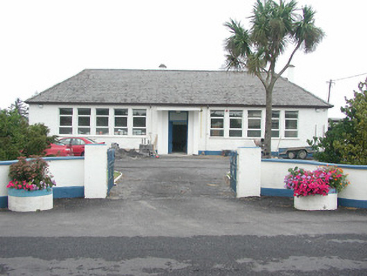 Easky Vocational Schoolschool · 584 yd
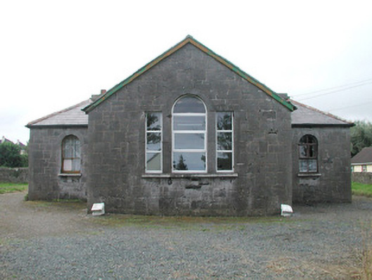 Easky Courthousecourt house · 658 yd
 Field boundary in BunownaField boundary · 689 yd
 Bawn in CastletownBawn · 695 yd
 Jim Smith MemorialMemorial · 702 yd
 Bunowna PointHeadland · 903 yd
 Cooanmore PointHeadland · 1445 yd
 Wild Atlantic Way: Inishcrone PierVisitor information · 7.6 mi
 Aughris BeachBeach / strand · 8.1 mi
Other information
Photo: Credit not shown in the picture search · Rights wording not checked; contact us if this picture should be removed