What is recorded here
Named Castletown Castle on the OS 6-inch maps. Post-medieval fortification, probably of 17th century date. Situated on a rock outcrop on the W side of the estuary of the River Easky. Subrectangular, single-storey, split-level structure (L of N wall 9.9m; L of E wall 22.4m; L of S wall 8.7m; L of W wall 20.9m; Wall T 0.78-1.25m). The smaller, lower level is rectangular in plan (int. dims. 7.6m N-S; 3.3m E-W) and projects out 1.7m over the estuary. It contains a gun port and nine musket loops. A cross-wall divides this room from the larger upper level wihich is subrectangular in plan (int. dims. c. 11.8m N-S; c. 4m E-W) and featureless. Immediately N of these rooms is a third, rectangular room (int. dims. c. 5.7m E-W; c. 3m N-S) which is largely filled with collapse. Between 0.4m and 5.9m out from the W and N sides of this latter room is a low, curving bank of earth and stone (Wth. 1.45-4m; H 0.25-0.4m) which probably marks the circuit of a bawn wall (SL011-019001-).
Compiled by: Patrick F. O'Donovan
Date of upload: 19 January 2011
The monument record does not grant public access. Check the route and ask the landowner before entering private land.
- What survives
- Recorded monument
Places near here
 Bawn in CastletownBawn · 13 yd
 Roslee CastleCastle, tower house · 255 yd
 Wild Atlantic Way: Easky PierVisitor information · 280 yd
 Bunowna PointHeadland · 328 yd
 Field boundary in BunownaField boundary · 527 yd
 ToberabiddeenHoly well · 565 yd
 AbbeyChurch · 581 yd
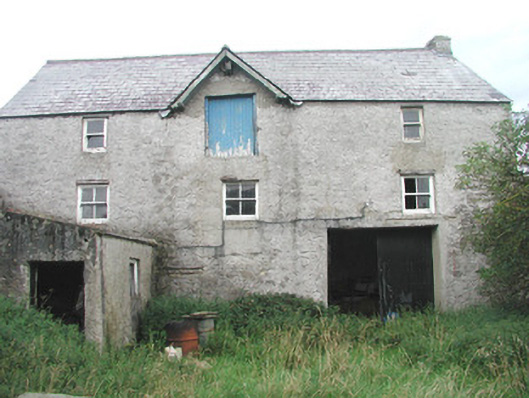 Swan Houseoutbuilding · 621 yd
 Jim Smith MemorialMemorial · 1307 yd
 Cooanmore PointHeadland · 1.2 mi
 Wild Atlantic Way: Inishcrone PierVisitor information · 7.3 mi
 Grave of the Black PigArchaeological place · 8.2 mi