Places near here
Photo credits
- Jonathan Billinger, Geograph · CC BY-SA 2.0
- National Inventory of Architectural Heritage
- Golfing in Ireland; photographer not stated, Source publisher
- Joe King, Wikimedia Commons · CC BY-SA 3.0
- Hamish Bain, Wikimedia Commons · CC BY-SA 2.0
- Wanfried-Dublin, Wikimedia Commons · CC BY-SA 4.0
- James Allan, Wikimedia Commons · CC BY-SA 2.0
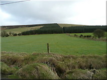 Butter MountainMountain / peak · 1290 yd
Explorer Tom Butter Mountain would use its lotto win to buy every single stick of butter in Ireland and build a palace out of them.…
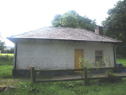 Talbotstown HouseGate lodge · 1.1 mi
Explorer Tom Talbotstown House in Aghfarrell has a gate lodge with such unpretentious charm it could be a bit of a diva about its…
 Slade Valley Golf ClubGolf course · 1.2 mi
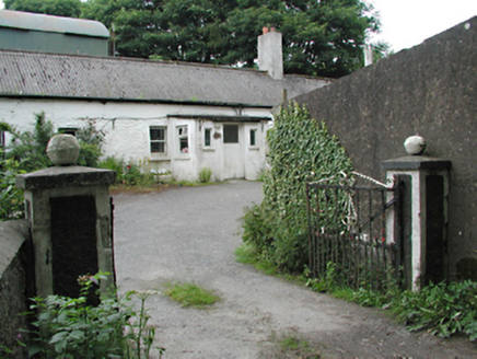 farmyard complex1.4 mi
Explorer Tom Farmyard complex in Aghfarrell caused the whole parish to argue about whether the roof tiles were on crooked or…
 Butter Mountain Golf ClubGolf course · 1.4 mi
 Lisheen Springs Golf ClubGolf course · 1.5 mi
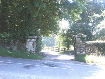 The ManorHouse · 1.5 mi
Explorer Tom The Manor in Kilbride is a Tudor Revival show-off with so many gables it looks like it’s trying to juggle its own roof…
 Black HillMountain / peak · 2.1 mi
Explorer Tom Black Hill in County Dublin is totally forested and looked at from Bohernabreena Road. It’s dark and mysterious inside…
 Passage tomb in ScurlocksleapPassage tomb · 2.4 mi
Explorer Tom Passage tomb in Scurlocksleap would tell you its deepest secret after three pints if it had a mouth wide enough. It’s…
 CastleCastle, tower house · 3.2 mi
Explorer Tom Threecastles has three castles in the name but only one is really trying, sitting on a slope overlooking the Liffey…
 Wedge tomb in CarrigWedge tomb · 5.5 mi
Explorer Tom The Wedge tomb in Carrig took approximately forty million cups of tea to build, according to my totally reliable…
 Burgage CastleRuins · 6.1 mi
Explorer Tom Burgage Castle in County Wicklow had the most dramatic thing happen there when a pigeon got stuck in the chimney for…
More archaeology and monuments in County Wicklow · All of County Wicklow

What do you know about this place?Tap to add a comment or ask a question