
What is recorded here
National Monument in state guardianship No. 317. Situated on the summit of Seefin Mountain. A circular cairn (diam. 24-6m; H 3m) defined by a contiguous kerb of large boulders partly removed at the E and W, covering a narrow lintelled passage (L 11m). The passage is orientated NE-SW, and opens into a rectangular corbelled chamber (dims. 4m x 1.5m) off which there are five recesses (two at each side and one at the end). Only the end and adjoining recesses are visible; the rest are buried under the collapsed cairn. There are two sidestones in the passage decorated with passage tomb art. Excavated in 1931 (Macalister 1932), it produced no evidence of burials or finds. (Herity 1974, 258; Rynne 1963, 85-6; Shee Twohig 1981, 222-3)
The above description is derived from the published 'Archaeological Inventory of County Wicklow' (Dublin: Stationery Office, 1997).
National Monument in state guardianship No. 317. Situated on the summit of Seefin Mountain. A circular cairn (diam. 24-6m; H 3m) defined by a contiguous kerb of large boulders partly removed at the E and W, covering a narrow lintelled passage (L 11m). The passage is orientated NE-SW, and opens into a rectangular corbelled chamber (dims. 4m x 1.5m) off which there are five recesses (two at each side and one at the…
From the National Monuments Service (Archaeological Survey of Ireland) record WI006-003
The monument record does not grant public access. Check the route and ask the landowner before entering private land.
- What survives
- Recorded monument
Places near here
 SeefinMountain / peak · 49 yd
 Seefingan CairnArchaeological place · 1436 yd
 SeefinganMountain / peak · 1653 yd
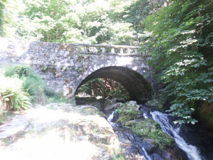 Cloghleagh BridgeBridge · 1.5 mi
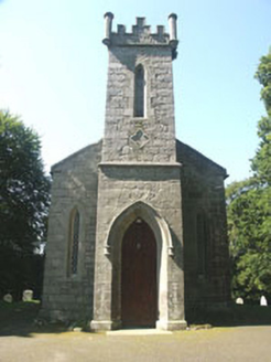 Saint John's Church (Kilbride)Church/chapel · 1.6 mi
 Scots Pine1.7 mi
 Coronation PlantationWood · 2.5 mi
 CastleCastle, tower house · 3.8 mi
 Noel Lemass MemorialMemorial · 4.2 mi
 Glencree German War CemeteryHeritage attraction · 4.4 mi
 Source of River LiffeySpring · 4.7 mi
 Hampden Bomber Crash 18 April 1941Monument · 5.2 mi
Pictures: Colin Park, Geograph · CC BY-SA 2.0; National Inventory of Architectural Heritage; Hello, I am Bruce on Flickr, Wikimedia Commons · CC BY-SA 2.0; JP, Geograph · CC BY-SA 2.0; Hamish Bain, Wikimedia Commons · CC BY-SA 2.0; jwd, Geograph · CC BY-SA 2.0; Mike Searle, Geograph · CC BY-SA 2.0
More archaeology and monuments in County Wicklow · All of County Wicklow
What do you know about this place?