
What is recorded here
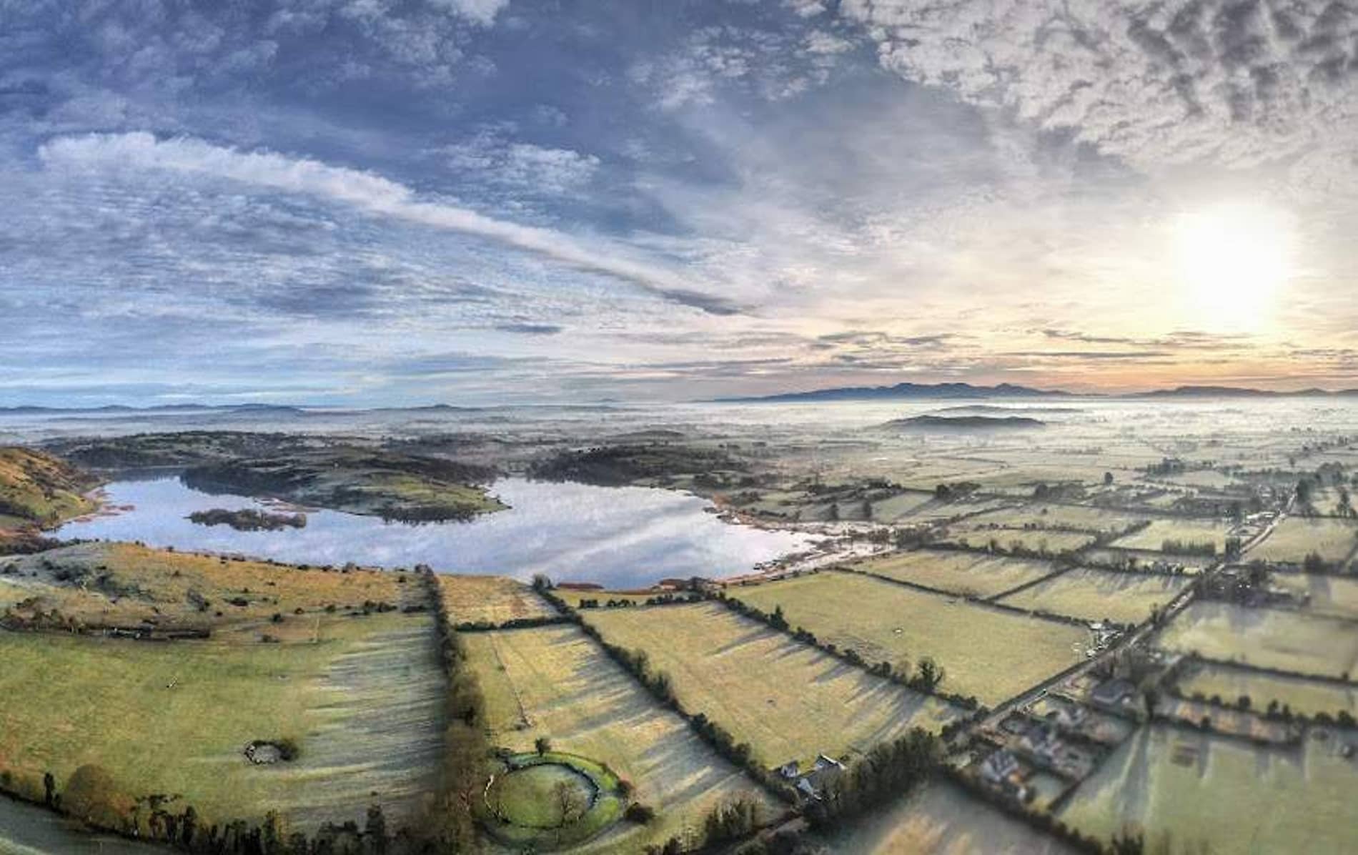
On the N shore of Lough Gur just above the current lake level under Knockfennell Hill. The site (LI032-014010-) is 430m NE of a ringfort (LI032-014003-); 180m S of Red Cellar Cave (LI032-281----); 220m SSE of a ring cairn (LI032-014009-) and 240m SW of a standing stone (LI032-014011-).
The stone circle is not depicted on the 1840 ed. OSi 6-inch map nor is it illustrated on the 1897 ed. OSi 25-inch map. The site is shown as an antiquity on the Cassini OSi 6-inch map as ‘Stone Circle’ accompanied by a semi-circle of hachures presumably indicating an arc of curving stones (ext. dims c. 18m). The stone circle is not visible on the OSi orthoimages taken 2005-12 nor on Digital Globe orthoimages taken 2011-2013. O’Kelly (1944, 47) doubted the existence of this site and recorded the following; 'On the map is shown an arc of stones and marked Stone Circle, lying on the shore of the lake at the base of Knockfennel. If this ever existed, it is no longer traceable. There are some short lengths of ancient fence at this point and some of them may have been mistaken for a circle'. Dowd (1896, 77) references a stone circle near the rath on the N bank of the lake. It is assumed that the rath is the ringfort (LI032-014003-) and the stone circle is the monument (LI032-014002-) 450m SW. The site may be a stone platform on the lake edge, although further investigation is required to confirm the nature of the site. The location is visible on Google Earth orthoimages taken 05/04/2006; 28/06/2018 and 20/09/2020.
See attached Google Earth orthoimages
Compiled by: Edmond O’Donovan
Date of upload: 4 November 2020
The monument record does not grant public access. Check the route and ask the landowner before entering private land.
- What survives
- Recorded monument
Places near here
 Cist in LoughgurCist · 254 yd
 530 ft. ODCairn, ring-cairn · 263 yd
 The SpectaclesVisitor information · 452 yd
 Pedunculate OakPedunculate Oak · 458 yd
 Lough Gur Heritage CentreVisitor information · 501 yd
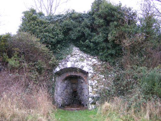 kilnkiln · 505 yd
 Loughgur Farmhouse · 603 yd
 Garret IslandCastle, unclassified · 684 yd
 Black Castle (in ruins)Castle, tower house · 937 yd
 Grange Stone CircleArchaeological place · 1470 yd
 Lough GurVisitor information · 1513 yd
 Banoge's WellSpring · 2.2 mi
Other information
Photo: Credit not shown in the picture search · Rights wording not checked; contact us if this picture should be removed