
What is recorded here
National monument No. 247. Situated on the summit of Knockfennell overlooking the N shoreline of Lough Gur 235m to S in an area with a rich concentration of prehistoric monuments. Red Cellar cave (LI032-281----) 65m to SE, stone circle (LI032-014010-) 220m to SSE, field system (LI032-014001-), hut sites (LI032-014007-/008-/) and cashel (LI032-014006-) to SW, enclosure (LI032-183----) 260m to W. Similar in size and morphology to a ring-cairn (LI032-022031-) known as 'Dun Gair' standing on the summit of Knockmore which is visible 780m to SSE.
Depicted as a small circular shaped area with OD in centre marking spot height of 531 ft. OD on revised edition of the OS 6-inch map. Classified as a ring-barrow by O'Kelly (1944, 47) and described as following: 'A continuous rubble stone kerb 50' [15m] in overall diameter delineates this monument, which is situated on the highest point of Knockfennell. Its centre is a hollow bowl shape. It was excavated but the results were inconclusive, the only finds being pockets of cremated bone at various points round the kerb. There was no dating evidence. The excavation was directed by Dr. S. P. Ó Ríordáin'. The monument was described by Ó Ríordáin as a 'small cairn on hill-top' which he excavated in the 1940s (Ó Ríordáin 1954, 458). In 1978 the monument was described a ring-cairn situated on the summit of Knockfennell consisting of a ring-cairn of stones about 15m in diameter enclosing a hollow bowl shaped interior. Pockets of human bones were found amongst the orthostats (O'Kelly and O'Kelly 1978, 41).
Compiled by: Caimin O'Brien
Date of upload: 21 May 2018
This monument is subject to a preservation order made under the National Monuments Acts 1930 to 2014 (PO no. 161/1941).
Portal dolmen; likely dates to the Neolithic period (c. 4000–2500 BCE). Its location within a dense prehistoric landscape suggests it was part of a broader ritual or funerary complex associated with early farming communities in the region.
The monument record does not grant public access. Check the route and ask the landowner before entering private land.
- What survives
- Recorded monument
Places near here
 Field system in KnockfennellField system · 140 yd
 Hut site in KnockfennellHut site · 217 yd
 The SpectaclesVisitor information · 494 yd
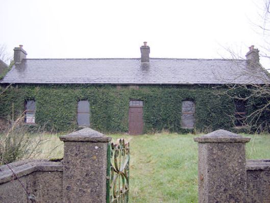 Lake Viewhouse · 501 yd
 Lough Gur Heritage CentreVisitor information · 595 yd
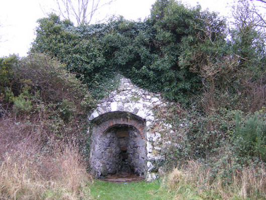 kilnkiln · 610 yd
 Pedunculate OakPedunculate Oak · 675 yd
 Garret IslandCastle, unclassified · 864 yd
 Black Castle (in ruins)Castle, tower house · 1200 yd
 Grange Stone CircleArchaeological place · 1592 yd
 Lough GurVisitor information · 1626 yd
 Banoge's WellSpring · 2.1 mi
Other information
Photo: Credit not shown in the picture search · Rights wording not checked; contact us if this picture should be removed