What is recorded here
In rocky pasture on the summit and around Knockfennell Hill overlooking and adjacent to Lough Gur which forms the S boundary of the hill. The field system surrounds three enclosures (LI032-014006-\183\338----); two hut sites (LI032-014007/8-); a ring cairn (LI032-014009-) and a cave site (LI032-281----). The field system may be an extension of a similar relic field system (LI032-014004-) 150m to SW. Relic field boundaries that are likely to be part of the this system are also located on the E slope of Knockfennell Hill 100m NE of the Red Cellar Cave (LI032-281-).
The field system is partially depicted on the 1840 ed. OSi 6-inch map but is later absent completely from the 1897 ed. OSi 25-inch map and the Cassini OSi 6-inch map. The field boundaries are visible on the OSi orthoimages taken 2005-12 and on Digital Globe orthoimages taken 2011-2013. Identified as a relic field systems by Ó Ríordáin (1954, 458) who describes ‘cultivation terraces in the valley below Knockfennell’ and O’Kelly (1978, 27, 30) who note field systems around the ringfort (LI032-014003-), although these field systems (LI032-014004-) are recorded separately.
The rectangular field system consists of a spine boundary wall curving and extending NE-SW from enclosure (LI032-014006-) across the hillside with collapsed boundaries extending off it N to the townland boundary with Grange and S to the lakeside (ext. dims. 430m NE-SW; 320m NW-SE). Two fields with evidence for spade cultivation are located immediately NE of the enclosure (LI032-014006). The field system is visible on oblique aerial photographs taken 14/07/1966 (CUCAP APC080) and on Google Earth orthoimages taken 05/04/2006; 25/03/2017; 20/03/2018 and 20/09/2020.
See attached CUCAP APC080 and Google Earth orthoimages
Compiled by: Edmond O’Donovan
Date of upload: 4 November 2020
The monument record does not grant public access. Check the route and ask the landowner before entering private land.
- What survives
- Recorded monument
Places near here
 Hut site in KnockfennellHut site · 115 yd
 530 ft. ODCairn, ring-cairn · 140 yd
 The SpectaclesVisitor information · 615 yd
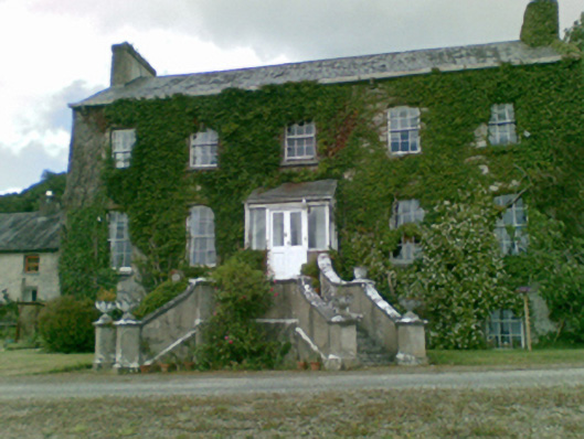 Loughgur Housecountry house · 629 yd
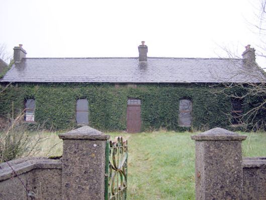 Lake Viewhouse · 640 yd
 Lough Gur Heritage CentreVisitor information · 704 yd
 Pedunculate OakPedunculate Oak · 731 yd
 Garret IslandCastle, unclassified · 764 yd
 Black Castle (in ruins)Castle, tower house · 1185 yd
 Grange Stone CircleArchaeological place · 1464 yd
 Lough GurVisitor information · 1496 yd
 Banoge's WellSpring · 2.1 mi
Other information
Photo: Credit not shown in the picture search · Rights wording not checked; contact us if this picture should be removed