What is recorded here
Banoge's Well is recorded as a spring in County Limerick.
From OpenStreetMap (© OpenStreetMap contributors) n13699949566
Places near here
Photo credits
- National Inventory of Architectural Heritage
- Mike Searle, Wikimedia Commons · CC BY-SA 2.0
- Oliver Dixon, Geograph · CC BY-SA 2.0
- Martin Richard Phelan, Geograph · CC BY-SA 2.0
- David Hawgood, Wikimedia Commons · CC BY-SA 2.0
- Martin Richard Phelan, Wikimedia Commons · CC BY-SA 2.0
- Oliver Dixon, Wikimedia Commons · CC BY-SA 2.0
- Ruhrfisch, Wikimedia Commons · CC BY-SA 4.0
- Willow, Wikimedia Commons · CC BY 2.5
- Dylan Moore, Geograph · CC BY-SA 2.0
Skool HillMountain / peak · 874 yd The GrangeCountry house · 888 ydSixmile BridgeBridge · 1262 ydRockstown Castle (in ruins)Castle, tower house · 1.1 miThe SpectaclesVisitor information · 2.2 miLough Gur Heritage CentreVisitor information · 2.3 miStone CirclesStone circle · 2.5 miGrange Stone circleVisitor information · 2.6 miStone CirclesStone circle, embanked · 2.6 miGrange Stone CircleArchaeological place · 2.6 miEuropean ash5.0 miKnockainyMountain / peak · 5.9 mi
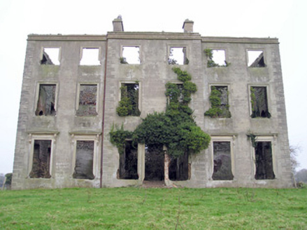 The GrangeCountry house · 888 yd
 Sixmile BridgeBridge · 1262 yd
 Rockstown Castle (in ruins)Castle, tower house · 1.1 mi
 The SpectaclesVisitor information · 2.2 mi
 Lough Gur Heritage CentreVisitor information · 2.3 mi
 Stone CirclesStone circle · 2.5 mi
 Grange Stone circleVisitor information · 2.6 mi
 Stone CirclesStone circle, embanked · 2.6 mi
 Grange Stone CircleArchaeological place · 2.6 mi
 European ash5.0 mi
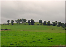 KnockainyMountain / peak · 5.9 mi
More waterfalls, wells and springs in County Limerick · All of County Limerick
What do you know about this place?