
What is recorded here
In pasture within a flat field on the S lower slope of Knocksentry Hill also known as Knockroe, 650m E of the NE shore of Lough Gur. A cist burial cemetery (LI032-055----) is located 140m to NW; Circle O (LI032-060----) lies 40m to SW and Circle P (LI032-059---) is located 100m to S; as are a number of other mound…
Read the whole record
From the National Monuments Service (Archaeological Survey of Ireland) record LI032-058
Places near here
Photo credits
- Maker not stated on source page, www.freepik.com
- Maker not stated on source page, en.wikipedia.org
- No machine-readable author provided. Christian1965~commonswiki assumed (based on copyright claims)., Wikimedia Commons · Public domain
- Maker not stated on source page, www.irishamerica.com
- National Inventory of Architectural Heritage
- Maker not stated on source page, irisharchaeology.org
- Maker not stated on source page, evoke.ie
- Ballyhoura Failte, Wikimedia Commons · CC BY-SA 2.0
- Maker not stated on source page, ca.pinterest.com
- Kmcnamee, Wikimedia Commons · CC BY-SA 4.0
 Stone Circles, HachuredStone circle, embanked · 82 yd
Explorer Tom Stone Circles on the Hill of Knockroe are huddled together like old friends sharing secrets that nobody else quite…
 Stone CirclesBurial mound · 121 yd
Explorer Tom Stone Circles in Loughgur would be the uncle at a wedding who stands in the corner, sipping one drink, and judging…
 Áine and Gearóid Iarla: Lough GurLegend location · 814 yd
Explorer Tom Áine and Gearóid Iarla: Lough Gur has a goddess for the lake and a sleeping lord in the old stories. I thought I was…
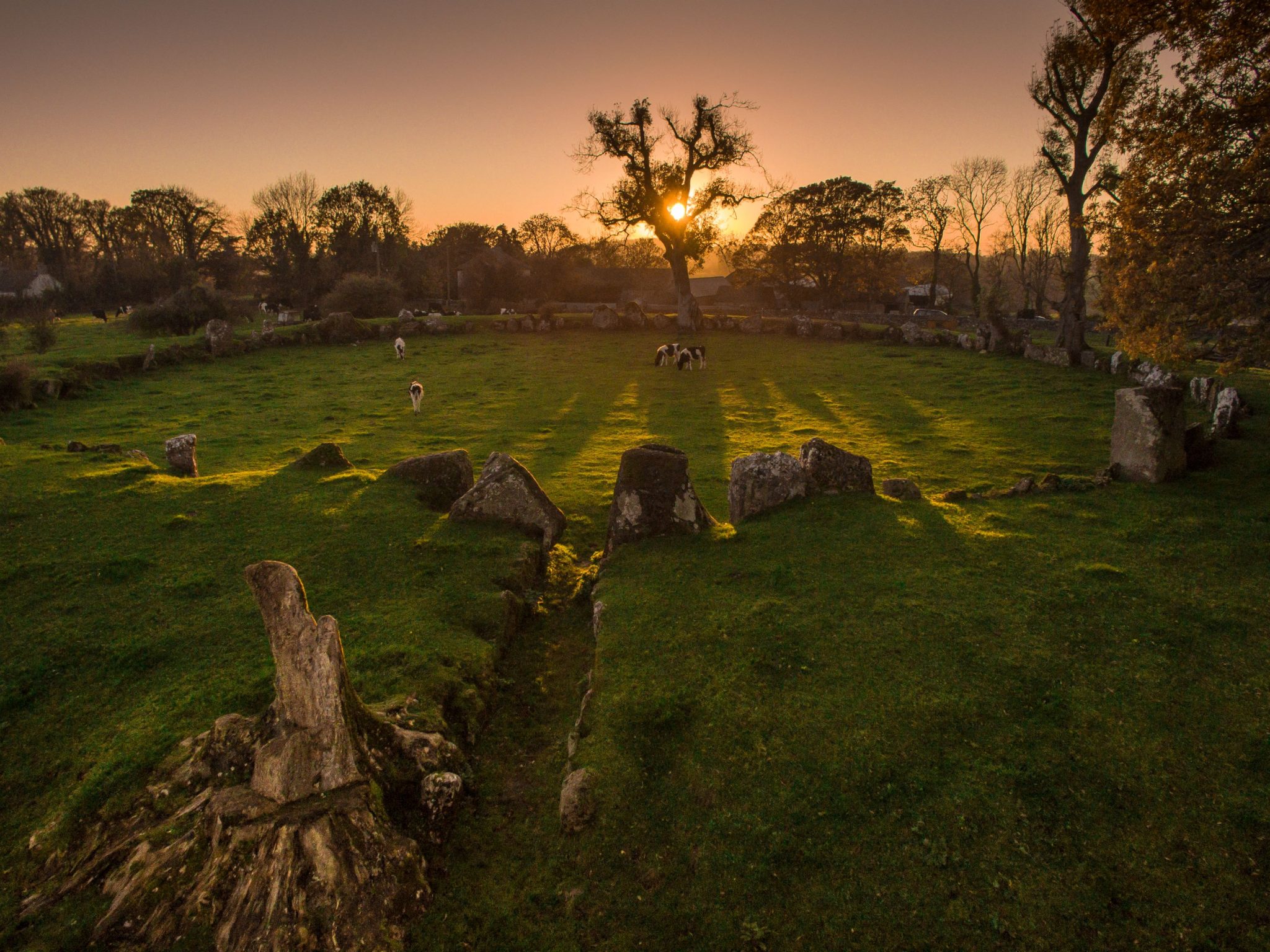 Cist in LoughgurCist · 920 yd
Explorer Tom Cist in Lough Gur loves 'Bohemian Rhapsody' because it fits right in with the rock opera vibe of being buried in a…
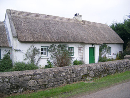 Maura's CottageHouse · 1008 yd
Explorer Tom Maura’s Cottage in Loughgur is thick on thatch and thin on privacy, so I suspect two fairies are currently fighting…
 Knockbologue HouseHouse · 1019 yd
Explorer Tom Knockbologue House in Loughgur hosted a fake royal visit where the king got stuck in the chimney and ate all the…
 mausoleum1378 yd
Explorer Tom The Cahercorney mausoleum was designed by a mother-in-law who wanted the Crokers to know their place in history. Those…
 Standing stone in CahercorneyStanding stone · 1709 yd
Explorer Tom Standing stone in Cahercorney is leaning east like it’s listening to a fiddler who played all night. It’s got a…
 Fairy fort / earthen ringfort in CahercorneyFairy fort / earthen ringfort · 1.0 mi
Explorer Tom Fairy fort in Cahercorney would tell its younger self to stop worrying about the entrance because no one can find it…
 Giants GraveMegalithic tomb · 1.3 mi
Explorer Tom Giants Grave in Ballynagallagh took forty cups of tea to build, if you ask me. The stones lean so hard they're…
 Black Castle (site of)Archaeological place · 2.0 mi
Explorer Tom Black Castle was built on a bargain where the builder promised the devil he’d never wear socks again for a hundred…
 Ballybricken/Bohermore GAA pitchGAA ground · 2.0 mi
More archaeology and monuments in County Limerick · All of County Limerick

What do you know about this place?Tap to add a comment or ask a question