What is recorded here
Knockfennell fort is a roughly D-shaped earthen ring on the south slope above Lough Gur, scarped into the hill and built up where the ground fell away. It sits at the centre of old field boundaries and small enclosures, with a stone arc nearby and Garret Island floating south across the water. Ring pins found there suggest early Christian use, while the name fairy fort keeps the older idea alive: a place where human hands and story both claimed the same ground.
National monument No. 247. Situated on S facing slope or rising ground at the base of Knockfennell Hill, now standing 40m N of the NW shoreline of Lough Gur. On the first edition of the OS 6-inch map the ringfort is shown standing on the edge of the shoreline of Lough Gur. Ringfort stands on N side of Lough Gur, S of Knockfennell and to the NE of Ardaghlooda Hill. Loughgur House stands 300m to NW. Cashel (LI032-014006-) 195m to N, adjacent field system (LI032-014004-), stone circle (LI032-014005-) and possible settlement platform (LI032-014002-) 50m to W. Garret Island in the centre of Lough Gur 180m to S, with crannóg (LI032-012----) 300m to W.
Ringfort described in 1833 as 'a square earthen work, and on one of its points a grass-covered cairn (LI032-014005-), composed mostly of very small stones, although some squared masses, like those on Carrig-galla, were to be seen' (Croker 1833, 111). In 1944 the D-shaped ringfort was described as 'very roughly D shaped on plan. The E side is almost straight while the W is circular. It is a platform on the edge of which there is a bank. The latter is very slight and is mainly on the N side. The fort is partly carved out of the hill slope, which is steep on the N side of it and it is only on this side that a fosse occurs. On the S there is none as here the ground falls away from the monument and a certain amount of building up had to be done to make the structure approximately level, though it still has a considerable slope to the S. The entrance is not recognisable. It is 12' [3.6m] high on the S side and the max. diam. is 81' [25m]. The fort is the central feature of a system of ancient fences [LI032-014004-] which cover the lower slopes of a hill on this side. These fences are mainly earthen and among them are discernible a number of small enclosures or huts. On the SE side of it is the arc of stones [LI032-014005-] described above' (O'Kelly 1944, 48).
Described in 1978 as a 'ring-fort of platform type which has been partly scarped out of the slope of the ground. It is steepest on the north side where there is a bank and ditch and the ground falls away to the south, where a certain amount of building up had to be done. It measures 23m in average diam. It was excavated but is unpublished. The finds - ring pins, etc. implied an early Christian period date. The ringfort is at the centre of another system of ancient fields (LI032-014004-)' (O'Kelly and O'Kelly 1978, 41-2).
Today the outline of the roughly D-shaped ringfort with traces of a field system to NW are clearly visible on Digital Globe aerial photograph.
Compiled by: Caimin O'Brien
Date of upload: 21 May 2018
The monument record does not grant public access. Check the route and ask the landowner before entering private land.
- What survives
- Recorded monument
Places near here
 Settlement platform in KnockfennellSettlement platform · 328 yd
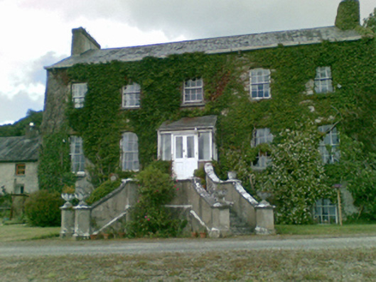 Loughgur Housecountry house · 350 yd
 Garret IslandCastle, unclassified · 352 yd
 Crock IslandCrannog · 352 yd
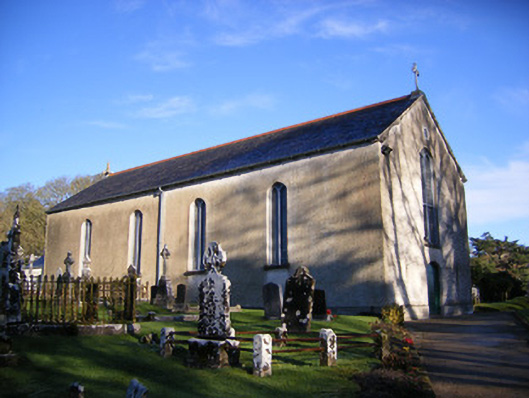 Catholic Church of Saint Patrick and Saint Brigidchurch/chapel · 639 yd
 Pedunculate OakPedunculate Oak · 846 yd
 The SpectaclesVisitor information · 941 yd
 Lough Gur Heritage CentreVisitor information · 983 yd
 Black Castle (in ruins)Castle, tower house · 1002 yd
 Grange Stone CircleArchaeological place · 1012 yd
 Lough GurVisitor information · 1047 yd
 Glen BogForest · 2.3 mi